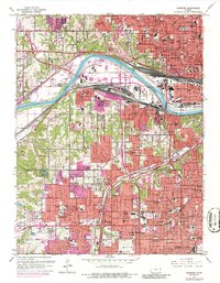
1964 Map of Shawnee
USGS Topo · Published 1986About this map
Kansas City and its sprawling suburban counterparts across the Wyandotte and Johnson County line are captured here during a period of significant mid-century expansion. The map detail reflects the post-war shift from traditional industrial centers toward residential developments like Roeland Park, Fairway, and Prairie Village. While the Kansas River remains the industrial anchor with its vast railyards for the Pacific and Santa Fe lines, the southward growth is marked by dozens of new schools and churches such as Sacred Heart Sch and St Lukes Ch. The landscape shows the transition from earlier landmarks like Maple Hill Cemetery to modern leisure and infrastructure, including the Kansas Turnpike and the developing Shawnee Mission State Park.
Find a feature on this map
103 named features on this map. Tap any name to fly to it.
Don’t see what you’re looking for? This feature index may not catch every label — zoom into the map to look around manually.
Map Details
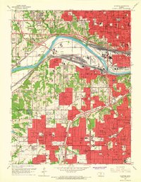
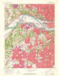
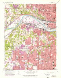
Editions of this 1964 Shawnee Map
4 editions found
Other maps of this area

1887 · Olathe
USGS Topo · 1:125,000

1890 · Kansas City
USGS Topo · 1:125,000

1893 · Olathe
USGS Topo · 1:125,000

1894 · Kansas City
USGS Topo · 1:125,000

1934 · Bonner Springs
USGS Topo · 1:48,000

1934 · Grandview
USGS Topo · 1:24,000

1934 · Shawnee
USGS Topo · 1:24,000

1934 · Edwardsville
USGS Topo · 1:24,000

1934 · Wolcott
USGS Topo · 1:24,000

1935 · Olathe
USGS Topo · 1:24,000