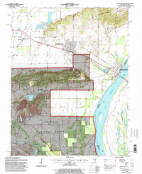
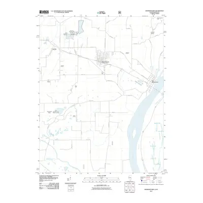
1996 Map of Shawneetown
USGS Topo · Published 1998About this map
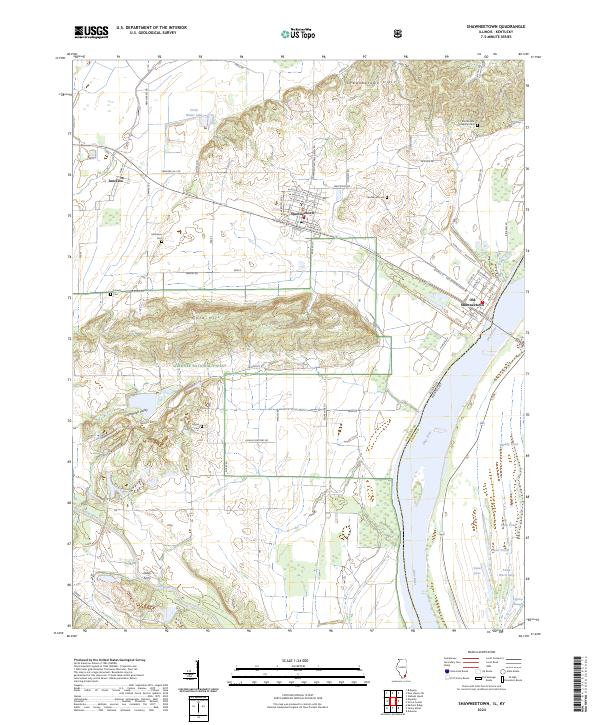
Old Shawneetown sits along the bend of the Ohio River, illustrating a town's migration following historic flooding. This survey documents the distinction between the original riverfront settlement and the newer Shawneetown located further inland to the west. The landscape is dominated by the transition from the flat river bottoms and the Shawnee National Forest to the prominent rising terrain of Gold Hill. Extensive strip mines are visible in the western portion of the quadrangle near Junction, showing the industrial footprint on the land during the mid-to-late 1990s. Genealogical details are plentiful, with several family-named burying grounds including McGhee Cem, Kanady Cem, and Hogan Cem. The map also captures local landmarks like the Shawneetown State Memorial Picnic Area and the Toll Bridge connecting Illinois to Kentucky.
Find a feature on this map
32 named features on this map. Tap any name to fly to it.
Don’t see what you’re looking for? This feature index may not catch every label — zoom into the map to look around manually.
Map Details
Editions of this 1996 Shawneetown Map
This is the sole edition of this map. No revisions or reprints were ever made.
Historical Maps of Shawneetown Through Time
9 maps found
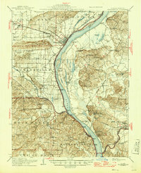
1916 Shawneetown
Gallatin County, IL
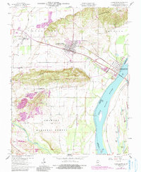
1959 Shawneetown
Gallatin County, IL
1959 Shawneetown
Gallatin County, IL
1996 Shawneetown
Gallatin County, IL
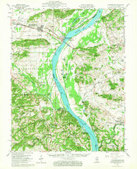
2010 Shawneetown
Gallatin County, IL
2015 Shawneetown
Gallatin County, IL
2018 Shawneetown
Gallatin County, IL
2021 Shawneetown
Gallatin County, IL
2024 Shawneetown
Gallatin County, IL