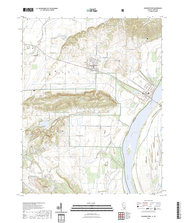
2024 Map of Shawneetown
USGS Topo · Published 2024About this map
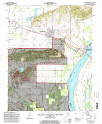
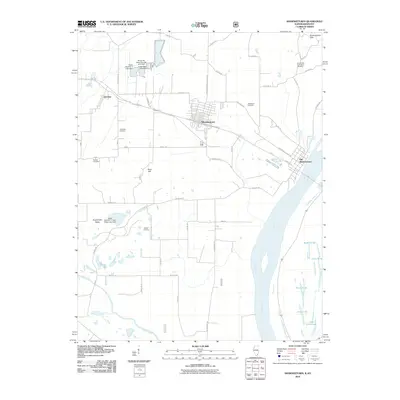
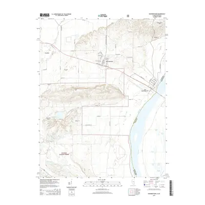
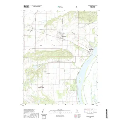
Old Shawneetown stands as a focal point along the western bank of the Ohio River, where the state boundary between Illinois and Kentucky follows the winding watercourse. The area illustrates a distinct shift from the flat river bottoms and lakes like Dixon Pond to the prominent elevations of Gold Hill and the Shawneetown Hills. This topography dictated the settlement patterns seen here, with newer developments in Shawneetown and Junction situated further inland on higher ground.
Find a feature on this map
73 named features on this map. Tap any name to fly to it.
Don’t see what you’re looking for? This feature index may not catch every label — zoom into the map to look around manually.
Map Details
Editions of this 2024 Shawneetown Map
This is the sole edition of this map. No revisions or reprints were ever made.
Historical Maps of Shawneetown Through Time
9 maps found
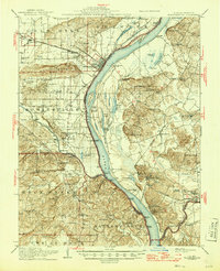
1916 Shawneetown
Gallatin County, IL
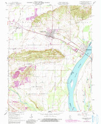
1959 Shawneetown
Gallatin County, IL
1959 Shawneetown
Gallatin County, IL
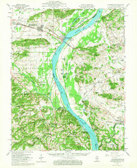
1996 Shawneetown
Gallatin County, IL
2010 Shawneetown
Gallatin County, IL
2015 Shawneetown
Gallatin County, IL
2018 Shawneetown
Gallatin County, IL
2021 Shawneetown
Gallatin County, IL
2024 Shawneetown
Gallatin County, IL