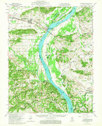
1959 Map of Shawneetown
USGS Topo · Published 1967About this map
The Ohio River serves as the central artery for this mid-century survey, dividing the Illinois communities of Gallatin and Hardin counties from the Kentucky landscapes of Union County. A unique dual-settlement pattern is visible here: Old Shawneetown sits on the riverbank, while the relocation to New Shawneetown inland reflects the area's struggle with flooding. The river valley is punctuated by several sloughs and lakes, including Cypress Slough and Fish Lake, while the uplands of the Shawnee National Forest rise to the southwest.
Find a feature on this map
119 named features on this map. Tap any name to fly to it.
Don’t see what you’re looking for? This feature index may not catch every label — zoom into the map to look around manually.
Map Details
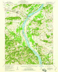
Editions of this 1959 Shawneetown Map
2 editions found
Other maps of this area

1905 · Eldorado
USGS Topo · 1:62,500

1905 · New Haven
USGS Topo · 1:62,500

1906 · New Haven
USGS Topo · 1:62,500

1906 · Eldorado
USGS Topo · 1:62,500

1907 · Morganfield
USGS Topo · 1:62,500

1909 · Providence
USGS Topo · 1:62,500

1916 · Shawneetown
USGS Topo · 1:62,500

1916 · Fords Ferry
USGS Topo · 1:62,500

1916 · Golconda
USGS Topo · 1:62,500

1916 · Equality
USGS Topo · 1:62,500