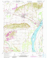
1959 Map of Shawneetown
USGS Topo · Published 1990About this map
Old Shawneetown sits along the bend of the Ohio River, illustrating a community’s physical relocation following historic flooding. This 1959 survey, with revisions into the late 20th century, documents the inland development of New Shawneetown and its relationship to the surrounding landscape of the Shawnee National Forest. The map captures a complex industrial and agricultural geography, where strip mines and the Hogan Cam Mine contrast with bottomlands and oxbow lakes like State Lake and Muddy Pond.
Find a feature on this map
34 named features on this map. Tap any name to fly to it.
Don’t see what you’re looking for? This feature index may not catch every label — zoom into the map to look around manually.
Map Details
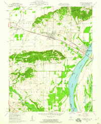
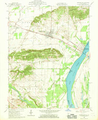
Editions of this 1959 Shawneetown Map
3 editions found
Other maps of this area

1905 · Eldorado
USGS Topo · 1:62,500

1905 · New Haven
USGS Topo · 1:62,500

1906 · New Haven
USGS Topo · 1:62,500

1906 · Eldorado
USGS Topo · 1:62,500

1916 · Shawneetown
USGS Topo · 1:62,500

1916 · Equality
USGS Topo · 1:62,500

1949 · Paducah
USGS Topo · 1:250,000

1949 · New Haven
USGS Topo · 1:62,500

1950 · Paducah
USGS Topo · 1:250,000
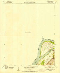
1953 · Wabash Island
USGS Topo · 1:24,000