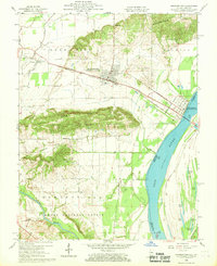
1959 Map of Shawneetown
USGS Topo · Published 1969About this map
Shawneetown and Old Shawneetown define a landscape shaped by the Ohio River and its shifting floodplains. This period shows the bifurcation of the settlement, with the newer site established inland along the Baltimore and Ohio and Louisville and Nashville railroads. The map records a complex network of local genealogy, from the Immaculate Conception Cem near the river to more isolated burial grounds like McGhee Cem and Kanady Cem. To the south, the terrain rises into Gold Hill and the Shawneetown Hills, providing a sharp contrast to the low-lying bottoms containing Muddy Pond and State Lake. Land use is distinctly varied, showing Oil Wells scattered across the north and the northern reaches of the Shawnee National Forest following the Saline River in the south.
Find a feature on this map
40 named features on this map. Tap any name to fly to it.
Don’t see what you’re looking for? This feature index may not catch every label — zoom into the map to look around manually.
Map Details
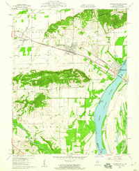
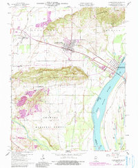
Editions of this 1959 Shawneetown Map
3 editions found
Other maps of this area

1905 · Eldorado
USGS Topo · 1:62,500

1905 · New Haven
USGS Topo · 1:62,500

1906 · New Haven
USGS Topo · 1:62,500

1906 · Eldorado
USGS Topo · 1:62,500

1916 · Shawneetown
USGS Topo · 1:62,500

1916 · Equality
USGS Topo · 1:62,500

1949 · Paducah
USGS Topo · 1:250,000

1949 · New Haven
USGS Topo · 1:62,500

1950 · Paducah
USGS Topo · 1:250,000
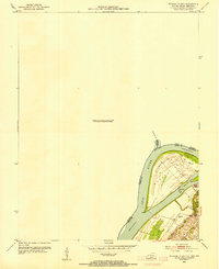
1953 · Wabash Island
USGS Topo · 1:24,000