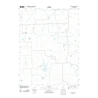
2012 Map of Shearwood
USGS Topo · Published 2012About this map
Genova Post Office and Cisco Post Office stand as central landmarks in this rural landscape within Grundy County, where agricultural patterns are defined by the winding paths of Hickory Creek and Gees Creek. The area is notably dense with family-named burial grounds, including the Gees Creek Cemetery, Matt Green Cemetery, Livingston Cemetery, and Shelburne Cemetery, providing significant points of interest for genealogical research. Water management is a primary feature of the terrain, visible through numerous local impoundments such as Trager Lake, Pike Lake, and Fender Farms Lake. While small clusters of development appear at Shearwood, Genova, and Coburn, much of the land remains open, utilized for recreation at Indian Creek Camping or shaped by the tributaries of Owl Creek and the South Fork Gees Creek.
Find a feature on this map
58 named features on this map. Tap any name to fly to it.
Don’t see what you’re looking for? This feature index may not catch every label — zoom into the map to look around manually.
Map Details
Editions of this 2012 Shearwood Map
This is the sole edition of this map. No revisions or reprints were ever made.
Other maps of this area

1921 · Chillicothe
USGS Topo · 1:62,500

1922 · Gallatin
USGS Topo · 1:62,500

1923 · Chillicothe
USGS Topo · 1:62,500

1925 · Gilman
USGS Topo · 1:62,500

1946 · Gilman
USGS Topo · 1:48,000

1948 · Gilman
USGS Topo · 1:62,500

1948 · Trenton
USGS Topo · 1:62,500

1953 · Moberly
USGS Topo · 1:250,000

1954 · Centerville
USGS Topo · 1:250,000

1954 · Moberly
USGS Topo · 1:250,000