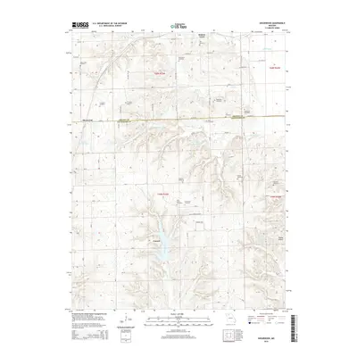
2015 Map of Shearwood
USGS Topo · Published 2015About this map
Gees Creek Cemetery and numerous other family burial grounds characterize this rural landscape along the boundary of Grundy and Livingston Counties. This 2015 survey reveals a pattern of dispersed agricultural settlement, where small clusters like Shearwood and Genova sit amidst a network of section roads such as SW 80th St and SW 50th Ave. The drainage system is dominated by Hickory Creek and Gees Creek, which feed into various small reservoirs including Fender Farms Lake, Pike Lake, and Trager Lake.
Find a feature on this map
59 named features on this map. Tap any name to fly to it.
Don’t see what you’re looking for? This feature index may not catch every label — zoom into the map to look around manually.
Map Details
Editions of this 2015 Shearwood Map
This is the sole edition of this map. No revisions or reprints were ever made.
Other maps of this area

1921 · Chillicothe
USGS Topo · 1:62,500

1922 · Gallatin
USGS Topo · 1:62,500

1923 · Chillicothe
USGS Topo · 1:62,500

1925 · Gilman
USGS Topo · 1:62,500

1946 · Gilman
USGS Topo · 1:48,000

1948 · Gilman
USGS Topo · 1:62,500

1948 · Trenton
USGS Topo · 1:62,500

1953 · Moberly
USGS Topo · 1:250,000

1954 · Centerville
USGS Topo · 1:250,000

1954 · Moberly
USGS Topo · 1:250,000