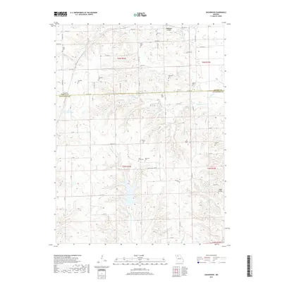
2017 Map of Shearwood
USGS Topo · Published 2017About this map
The Missouri-lowland borderlands of Grundy and Livingston counties are defined by the winding tributaries of Gees Creek and Hickory Creek. This landscape is primarily agricultural, yet it preserves a high density of small family and community burial grounds that reveal the nineteenth-century settlement pattern. Genealogists will find many significant sites including Thompson Cemetery, Lilly Grove Cemetery, and Shelburne Cemetery situated on higher ground overlooking the creek valleys.
Find a feature on this map
46 named features on this map. Tap any name to fly to it.
Don’t see what you’re looking for? This feature index may not catch every label — zoom into the map to look around manually.
Map Details
Editions of this 2017 Shearwood Map
This is the sole edition of this map. No revisions or reprints were ever made.
Other maps of this area

1921 · Chillicothe
USGS Topo · 1:62,500

1922 · Gallatin
USGS Topo · 1:62,500

1923 · Chillicothe
USGS Topo · 1:62,500

1925 · Gilman
USGS Topo · 1:62,500

1946 · Gilman
USGS Topo · 1:48,000

1948 · Gilman
USGS Topo · 1:62,500

1948 · Trenton
USGS Topo · 1:62,500

1953 · Moberly
USGS Topo · 1:250,000

1954 · Centerville
USGS Topo · 1:250,000

1954 · Moberly
USGS Topo · 1:250,000