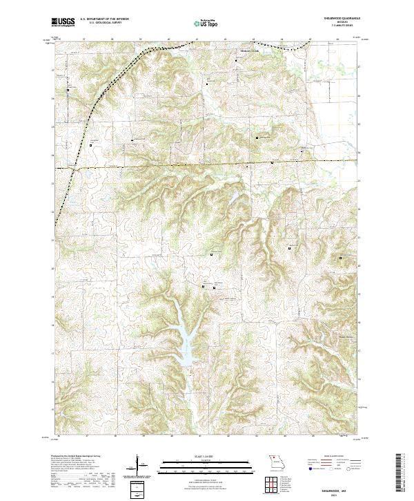
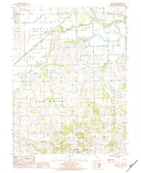
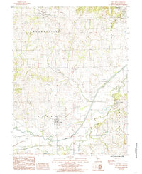
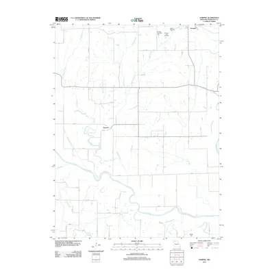
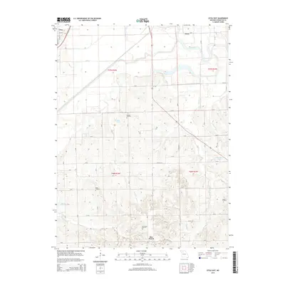
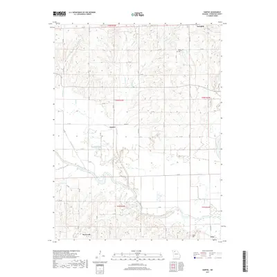
2021 Map of Shearwood
USGS Topo · Published 2021About this map
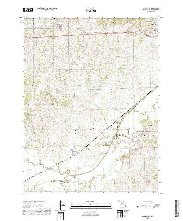
The rolling agricultural landscape of Grundy and Livingston counties is defined by a dense network of family and community cemeteries that speak to generations of rural settlement. Small burial grounds like Gees Creek Cem, Thompson Cem, and Woldridge Cem are scattered across the uplands between the branching waterways of Gees Cr and the S Fork Gees Cr. Near the small community of Shearwood, the terrain is punctuated by several private impoundments including Fender Farms Lake and Pike Lake.
Find a feature on this map
61 named features on this map. Tap any name to fly to it.
Don’t see what you’re looking for? This feature index may not catch every label — zoom into the map to look around manually.
Map Details
Editions of this 2021 Shearwood Map
This is the sole edition of this map. No revisions or reprints were ever made.
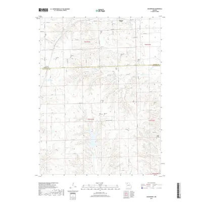
Historical Maps of Hickory Creek Through Time
30 maps found
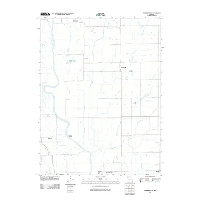
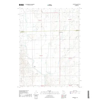
1984 Farmersville
Livingston County, MO

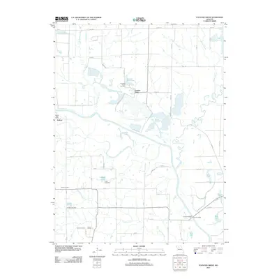
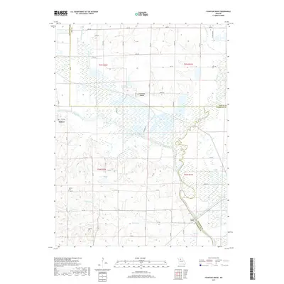
1984 Fountain Grove
Livingston County, MO
1984 Sampsel
Livingston County, MO
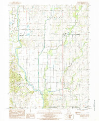
1984 Shearwood
Livingston County, MO
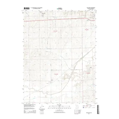
1984 Utica East
Livingston County, MO
1984 Utica West
Livingston County, MO
2012 Farmersville
Livingston County, MO
2012 Fountain Grove
Livingston County, MO
2012 Sampsel
Livingston County, MO
2012 Shearwood
Livingston County, MO
2012 Utica East
Livingston County, MO
2012 Utica West
Livingston County, MO
2015 Farmersville
Livingston County, MO
2015 Fountain Grove
Livingston County, MO
2015 Sampsel
Livingston County, MO
2015 Shearwood
Livingston County, MO
2015 Utica East
Livingston County, MO
2015 Utica West
Livingston County, MO
2017 Farmersville
Livingston County, MO
2017 Fountain Grove
Livingston County, MO
2017 Sampsel
Livingston County, MO
2017 Shearwood
Livingston County, MO
2017 Utica East
Livingston County, MO
2017 Utica West
Livingston County, MO
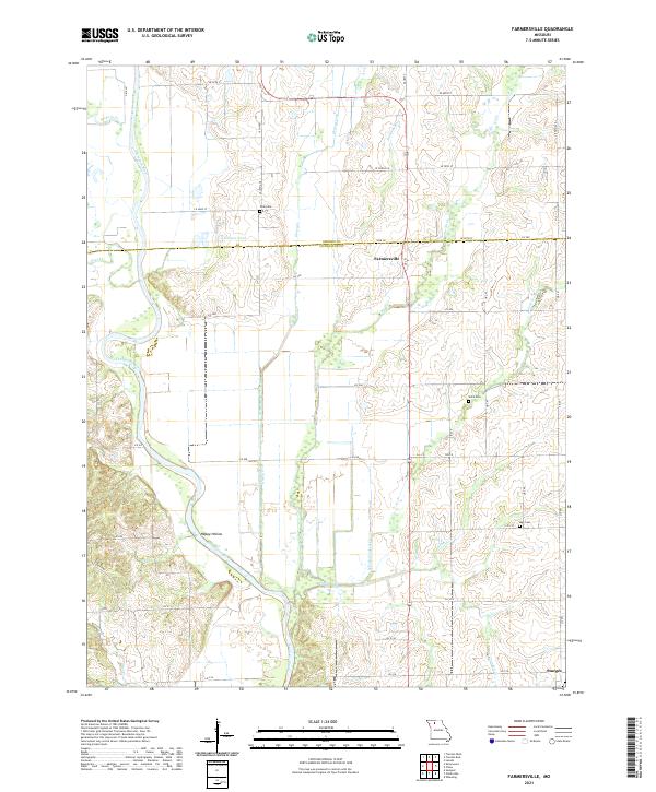
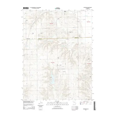
2021 Farmersville
Livingston County, MO
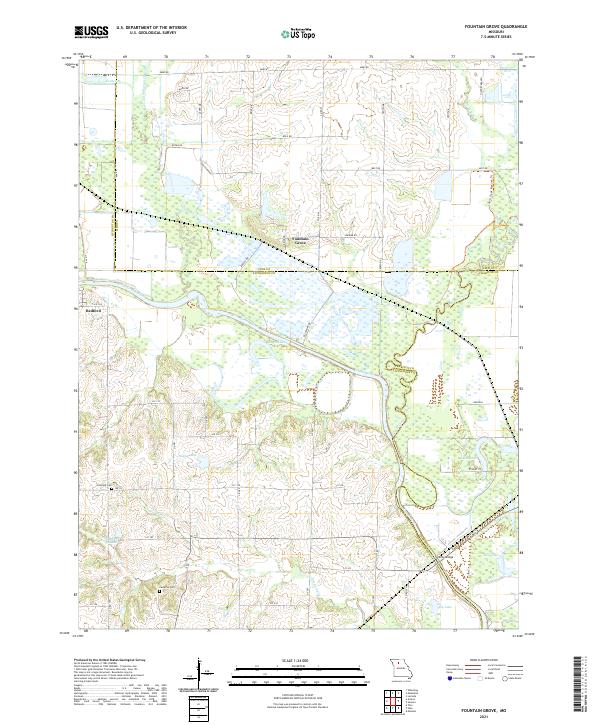
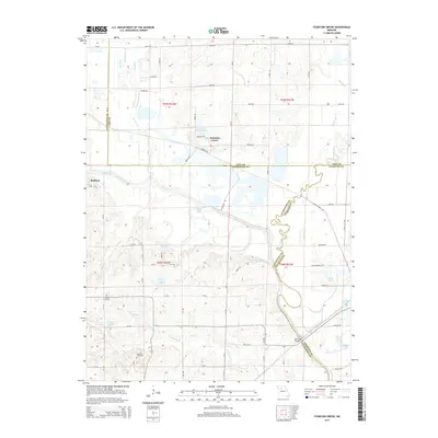
2021 Fountain Grove
Livingston County, MO
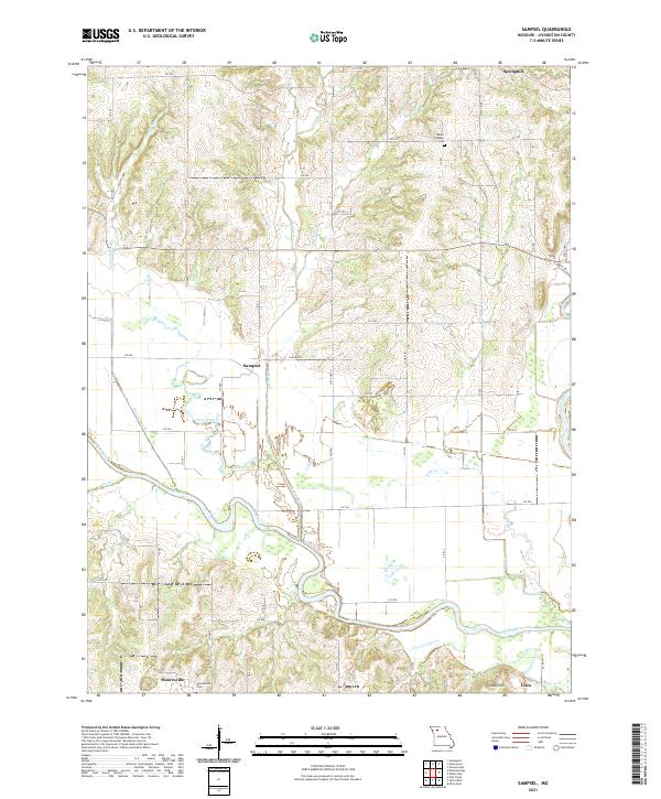
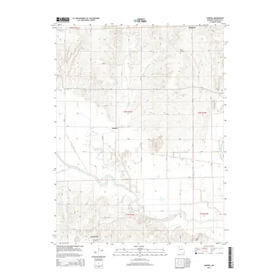
2021 Sampsel
Livingston County, MO
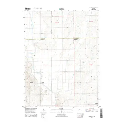
2021 Shearwood
Livingston County, MO
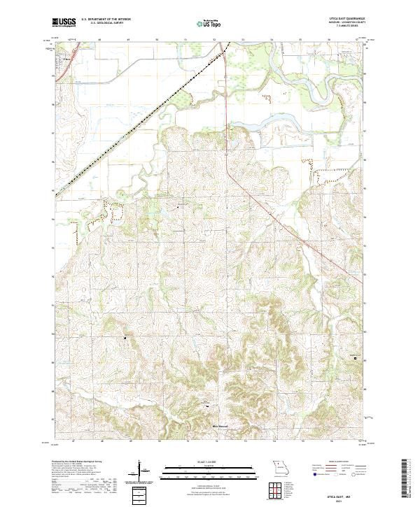
2021 Utica East
Livingston County, MO
2021 Utica West
Livingston County, MO