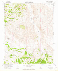
1961 Map of Shedd Canyon
USGS Topo · Published 1962About this map
Huerhuero Plains anchors this early 1960s study of central San Luis Obispo County, a landscape defined by expansive ranching operations and water-scarce terrain. The network of local commerce is visible through sites like Clarke Ranch, Jackson and Reinert Ranch, and Upton Ranch, which suggest a localized economy focused on livestock and dry-land farming. Deep canyons, including Shedd Canyon and Upton Canyon, dominate the topography, while numerous triangulation stations like VABM Almond 1711 and VABM Shedd 1616 indicate the importance of precise geodetic control in this complex drainage system.
Find a feature on this map
30 named features on this map. Tap any name to fly to it.
Don’t see what you’re looking for? This feature index may not catch every label — zoom into the map to look around manually.
Map Details
Editions of this 1961 Shedd Canyon Map
2 editions found
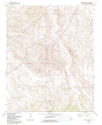
Other maps of this area

1897 · San Luis Obispo
USGS Topo · 1:62,500

1900 · San Luis
USGS Topo · 1:125,000

1914 · Cholame
USGS Topo · 1:125,000

1915 · Cholame
USGS Topo · 1:125,000

1917 · Cholame
USGS Topo · 1:125,000

1919 · Paso Robles
USGS Topo · 1:62,500

1922 · Pozo
USGS Topo · 1:62,500

1942 · San Luis Obispo
USGS Topo · 1:62,500

1943 · Shandon
USGS Topo · 1:31,680

1943 · Paso Robles
USGS Topo · 1:62,500