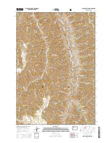
2014 Map of Sheep Creek Divide
USGS Topo · Published 2014About this map
Wallowa National Forest defines this high-elevation landscape, where the Sheep Creek Divide serves as a prominent watershed boundary in the rugged northeastern corner of Oregon. This 2014 survey documents a network of remote ridges and canyons, most notably the steep descent into the Imnaha River canyon on the eastern side of the sheet. The terrain is characterized by long, named ridges such as Grizzly Ridge, Dead Horse Ridge, and Beeler Ridge, which provide natural corridors through the wilderness. These geographical features highlight the isolation of the area, punctuated only by forest access points like Big Sheep Creek Rd and Freezeout Rd. Numerous seasonal and perennial streams, including Big Sheep Cr and Double Cr, carve deep into the plateau, illustrating the complex drainage patterns that feed the larger river systems of the region.
Find a feature on this map
56 named features on this map. Tap any name to fly to it.
Don’t see what you’re looking for? This feature index may not catch every label — zoom into the map to look around manually.
Map Details
Editions of this 2014 Sheep Creek Divide Map
This is the sole edition of this map. No revisions or reprints were ever made.
Other maps of this area

1922 · He Devil
USGS Topo · 1:48,000

1954 · Imnaha
USGS Topo · 1:62,500

1954 · Kernan Point
USGS Topo · 1:62,500

1954 · Harl Butte
USGS Topo · 1:62,500

1955 · Grangeville
USGS Topo · 1:250,000

1957 · He Devil
USGS Topo · 1:62,500

1959 · Grangeville
USGS Topo · 1:250,000

1980 · Grangeville
USGS Topo · 1:100,000

1987 · Riggins
USGS Topo · 1:100,000

1990 · Imnaha
USGS Topo · 1:24,000