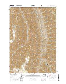
2017 Map of Sheep Creek Divide
USGS Topo · Published 2017About this map
Wallowa National Forest encompasses this high-elevation landscape, where the Sheep Creek Divide separates the drainage basins of significant mountain waterways. The eastern portion of the map is defined by the steep descent toward the Imnaha River, fed by numerous high-country tributaries including Keeler Cr and Adams Cr. The topography is marked by prominent landforms such as Middle Point Divide and Grizzly Ridge in the north, transitioning into the central heights of Dead Horse Ridge. For researchers of land use and remote infrastructure, the map tracks several vital routes like Big Sheep Creek Rd and Hat Point Rd, which navigate the complex ridges and canyons. To the south, features like Gowing Spring and Beeler Ridge indicate the rugged character of the terrain surrounding Saddle Gulch.
Find a feature on this map
62 named features on this map. Tap any name to fly to it.
Don’t see what you’re looking for? This feature index may not catch every label — zoom into the map to look around manually.
Map Details
Editions of this 2017 Sheep Creek Divide Map
This is the sole edition of this map. No revisions or reprints were ever made.
Other maps of this area

1922 · He Devil
USGS Topo · 1:48,000

1954 · Imnaha
USGS Topo · 1:62,500

1954 · Kernan Point
USGS Topo · 1:62,500

1954 · Harl Butte
USGS Topo · 1:62,500

1955 · Grangeville
USGS Topo · 1:250,000

1957 · He Devil
USGS Topo · 1:62,500

1959 · Grangeville
USGS Topo · 1:250,000

1980 · Grangeville
USGS Topo · 1:100,000

1987 · Riggins
USGS Topo · 1:100,000

1990 · Imnaha
USGS Topo · 1:24,000