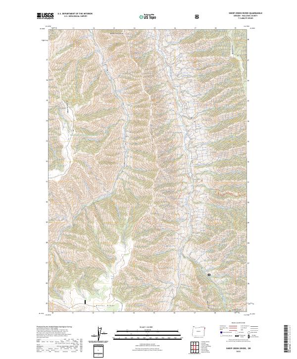
2023 Map of Sheep Creek Divide
USGS Topo · Published 2023About this map
The Imnaha Wild and Scenic River carves a deep north-south corridor through this section of the Wallowa National Forest, defining the hydrological character of eastern Wallowa County. The drainage network is dense and complex, with eastern tributaries like Dunlap Creek, Thorn Creek, and Double Creek feeding the primary river, while western waters like Big Sheep Creek and Bristo Creek flow toward separate basins. This topography is structured by prominent high ground, most notably the Sheep Creek Divide and Middle Point Divide, which dictate the movement of water and livestock across the high country.
Find a feature on this map
55 named features on this map. Tap any name to fly to it.
Don’t see what you’re looking for? This feature index may not catch every label — zoom into the map to look around manually.
Map Details
Editions of this 2023 Sheep Creek Divide Map
This is the sole edition of this map. No revisions or reprints were ever made.
Other maps of this area

1922 · He Devil
USGS Topo · 1:48,000

1954 · Imnaha
USGS Topo · 1:62,500

1954 · Kernan Point
USGS Topo · 1:62,500

1954 · Harl Butte
USGS Topo · 1:62,500

1955 · Grangeville
USGS Topo · 1:250,000

1957 · He Devil
USGS Topo · 1:62,500

1959 · Grangeville
USGS Topo · 1:250,000

1980 · Grangeville
USGS Topo · 1:100,000

1987 · Riggins
USGS Topo · 1:100,000

1990 · Imnaha
USGS Topo · 1:24,000