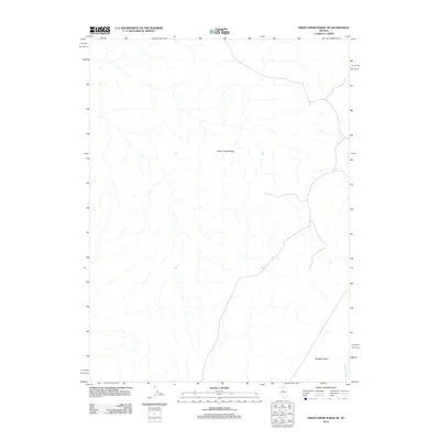
2012 Map of Sheep Creek Range NE
USGS Topo · Published 2012About this map
Sheep Creek Range dominates the central terrain of this quadrangle, defining the hydrological divide of this corner of Lander County. The landscape transitions into the broad expanse of Boulder Valley to the southeast, where the drainage of Boulder Creek flows toward the basin floor. This 2012 survey illustrates the sparse network of rural roads and tracks that navigate the high desert environment, providing a technical record of the topography and landform structure during the early 21st century. The map focuses on these primary natural features, offering a clear view of the relationship between the elevated range and the valley floor.
Find a feature on this map
3 named features on this map. Tap any name to fly to it.
Don’t see what you’re looking for? This feature index may not catch every label — zoom into the map to look around manually.
Map Details
Editions of this 2012 Sheep Creek Range NE Map
This is the sole edition of this map. No revisions or reprints were ever made.
Other maps of this area

1955 · McDermitt
USGS Topo · 1:250,000

1955 · Winnemucca
USGS Topo · 1:250,000

1958 · Winnemucca
USGS Topo · 1:250,000

1959 · McDermitt
USGS Topo · 1:250,000

1962 · Winnemucca
USGS Topo · 1:250,000

1965 · Sheep Creek Range SW
USGS Topo · 1:24,000

1965 · Sheep Creek Range NE
USGS Topo · 1:24,000

1965 · Sheep Creek Range SE
USGS Topo · 1:24,000

1965 · Sheep Creek Range NW
USGS Topo · 1:24,000

1965 · Rock Creek Ranch
USGS Topo · 1:24,000