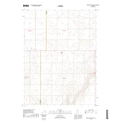
2018 Map of Sheep Creek Range NE
USGS Topo · Published 2018About this map
Sheep Creek Range dominates this 2018 survey, providing a detailed view of the high-altitude terrain where the high desert meets the sky. The map documents the political boundary between Lander Co and Eureka Co, showing how the county line traverses the ridges and basins of the Great Basin landscape. This modern digital survey by the U.S. Geological Survey utilizes precise aerial imagery and elevation data to trace the sparse drainage networks, including the headwaters of Boulder Cr in the southeastern corner. The map's grid-based structure, organized by townships such as t36n r48e, illustrates the systematic Public Land Survey System that continues to define property and resource management in these open rangelands.
Find a feature on this map
8 named features on this map. Tap any name to fly to it.
Don’t see what you’re looking for? This feature index may not catch every label — zoom into the map to look around manually.
Map Details
Editions of this 2018 Sheep Creek Range NE Map
This is the sole edition of this map. No revisions or reprints were ever made.
Other maps of this area

1955 · McDermitt
USGS Topo · 1:250,000

1955 · Winnemucca
USGS Topo · 1:250,000

1958 · Winnemucca
USGS Topo · 1:250,000

1959 · McDermitt
USGS Topo · 1:250,000

1962 · Winnemucca
USGS Topo · 1:250,000

1965 · Sheep Creek Range SW
USGS Topo · 1:24,000

1965 · Sheep Creek Range NE
USGS Topo · 1:24,000

1965 · Sheep Creek Range SE
USGS Topo · 1:24,000

1965 · Sheep Creek Range NW
USGS Topo · 1:24,000

1965 · Rock Creek Ranch
USGS Topo · 1:24,000