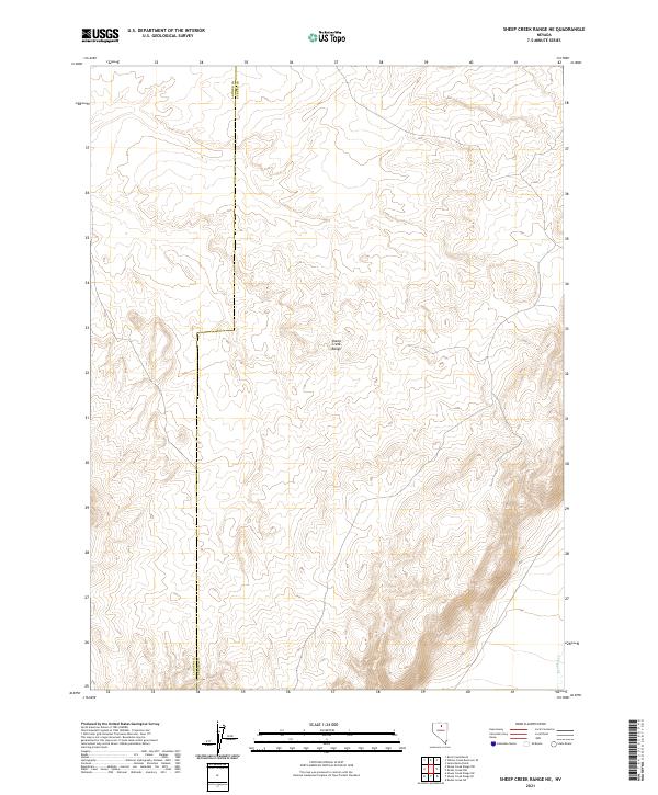
2021 Map of Sheep Creek Range NE
USGS Topo · Published 2021About this map
The high desert landscape of the Sheep Creek Range dominates this terrain, where the boundary between Lander Co and Eureka Co bisects the upland reaches. This modern elevation study reveals the complex topography of the range, characterized by a network of drainage basins and ridges that define the high-altitude environment. In the southeastern corner, the seasonal flow of Boulder Cr provides a rare water feature in an otherwise arid expanse. The map illustrates the contemporary Public Land Survey System (PLSS) grid, showing the township and range divisions that still govern land use and resource management in this corner of rural Nevada.
Find a feature on this map
3 named features on this map. Tap any name to fly to it.
Don’t see what you’re looking for? This feature index may not catch every label — zoom into the map to look around manually.
Map Details
Editions of this 2021 Sheep Creek Range NE Map
This is the sole edition of this map. No revisions or reprints were ever made.
Other maps of this area

1955 · McDermitt
USGS Topo · 1:250,000

1955 · Winnemucca
USGS Topo · 1:250,000

1958 · Winnemucca
USGS Topo · 1:250,000

1959 · McDermitt
USGS Topo · 1:250,000

1962 · Winnemucca
USGS Topo · 1:250,000

1965 · Sheep Creek Range SW
USGS Topo · 1:24,000

1965 · Sheep Creek Range NE
USGS Topo · 1:24,000

1965 · Sheep Creek Range SE
USGS Topo · 1:24,000

1965 · Sheep Creek Range NW
USGS Topo · 1:24,000

1965 · Rock Creek Ranch
USGS Topo · 1:24,000