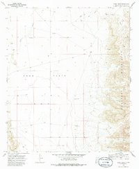
1969 Map of Sheep Draw
USGS Topo · Published 1986About this map
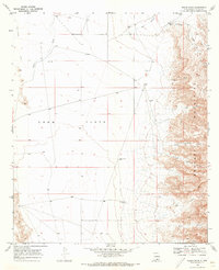
Crow Flats dominates the western half of this Otero County landscape, where the wide alluvial plain meets the rising slopes of the Brokeoff Mountains to the east. Surveyed in the late 1960s, the map reveals a remote ranching environment defined by a critical network of water sources. Named landmarks like Lewis Ranch and localized infrastructure such as Kitchens Well, John A Well, and Hammock Well highlight the necessity of managed water in this arid terrain.
Find a feature on this map
20 named features on this map. Tap any name to fly to it.
Don’t see what you’re looking for? This feature index may not catch every label — zoom into the map to look around manually.
Map Details
Editions of this 1969 Sheep Draw Map
2 editions found
Other maps of this area

1935 · El Paso Gap
USGS Topo · 1:62,500

1936 · El Paso Gap
USGS Topo · 1:48,000

1940 · El Paso Gap
USGS Topo · 1:62,500

1943 · Texas Hill
USGS Topo · 1:62,500

1945 · Texas Hill
USGS Topo · 1:62,500

1954 · Carlsbad
USGS Topo · 1:250,000

1958 · Carlsbad
USGS Topo · 1:250,000

1963 · Hackberry Hill
USGS Topo · 1:24,000

1963 · Gowdy Ranch
USGS Topo · 1:24,000

1969 · Lewis Canyon
USGS Topo · 1:24,000