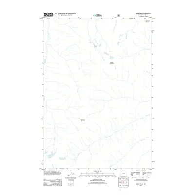
2012 Map of Sheep Mesa
USGS Topo · Published 2012About this map
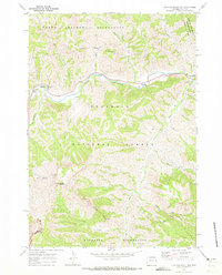
Sheep Mesa and the surrounding high-altitude drainage systems of Park County define this 2012 topographical survey. The map records a complex hydrologic network where Fishhawk Cr, Ruth Cr, and Rampart Cr carve through a landscape dominated by prominent peaks. Significant elevations include Fortress Mountain and Battlement Mountain, providing a detailed look at the relief of the Absaroka Range. Of particular interest to researchers is the presence of Fishhawk Glacier in the southwestern corner, feeding Glacier Cr. The drainage patterns, including the headwaters of W Fork Blackwater Cr and Borron Cr, illustrate the fundamental water resources and geological formations of this wilderness area at the start of the 21st century.
Find a feature on this map
16 named features on this map. Tap any name to fly to it.
Don’t see what you’re looking for? This feature index may not catch every label — zoom into the map to look around manually.
Map Details
Editions of this 2012 Sheep Mesa Map
This is the sole edition of this map. No revisions or reprints were ever made.
Other maps of this area

1893 · Ishawooa
USGS Topo · 1:125,000

1895 · Ishawooa
USGS Topo · 1:125,000

1899 · Ishawooa
USGS Topo · 1:125,000

1955 · Cody
USGS Topo · 1:250,000

1958 · Cody
USGS Topo · 1:250,000

1962 · Cody
USGS Topo · 1:250,000
1970 · Sheep Mesa
USGS Topo · 1:24,000
1970 · Chimney Rock
USGS Topo · 1:24,000
1970 · Clouds Home Peak
USGS Topo · 1:24,000
1970 · Clayton Mountain
USGS Topo · 1:24,000