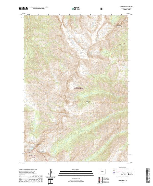
2021 Map of Sheep Mesa
USGS Topo · Published 2021About this map
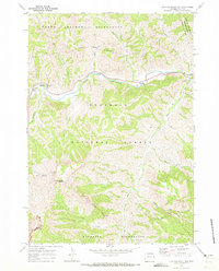
Shoshone National Forest dominates this high-altitude landscape within the Absaroka Range, where extreme elevations have preserved geological features and isolated wilderness. The map reveals a world of vertical relief, anchored by the massive Sheep Mesa and the spire of Fortress Mtn. In the southern reaches, the boundary with Teton National Forest runs near Glacier Basin and Overlook Mtn, highlighting the intersection of these two massive protected areas. The presence of the Fishhawk Glacier and the Blackwater Natural Bridge indicates a terrain shaped by both glacial movement and erosion. Access is limited to remote paths like the Fishhawk Cr Trl, which follows Fishhawk Cr through deep canyons, illustrating the primitive nature of this backcountry before it transitions into the lower basins of Park County.
Find a feature on this map
29 named features on this map. Tap any name to fly to it.
Don’t see what you’re looking for? This feature index may not catch every label — zoom into the map to look around manually.
Map Details
Editions of this 2021 Sheep Mesa Map
This is the sole edition of this map. No revisions or reprints were ever made.
Other maps of this area

1893 · Ishawooa
USGS Topo · 1:125,000

1895 · Ishawooa
USGS Topo · 1:125,000

1899 · Ishawooa
USGS Topo · 1:125,000

1955 · Cody
USGS Topo · 1:250,000

1958 · Cody
USGS Topo · 1:250,000

1962 · Cody
USGS Topo · 1:250,000
1970 · Sheep Mesa
USGS Topo · 1:24,000
1970 · Chimney Rock
USGS Topo · 1:24,000
1970 · Clouds Home Peak
USGS Topo · 1:24,000
1970 · Clayton Mountain
USGS Topo · 1:24,000