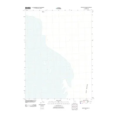
2011 Map of Sheep Mountain
USGS Topo · Published 2011About this map
Sheep Mountain dominates the northern reaches of this high-desert terrain in Box Elder County. This 2011 survey, conducted by the U.S. Geological Survey, captures the stark geography where the Hogup Mountains stretch across the southeastern corner of the map. The landscape is characterized by vast open spaces and minimal development, preserving the isolation of this corner of Utah. The mapping data reveals the intricate relationship between the mountain ranges and the surrounding basins, providing a precise topographic representation of the landforms that define the region's physical character.
Find a feature on this map
2 named features on this map. Tap any name to fly to it.
Don’t see what you’re looking for? This feature index may not catch every label — zoom into the map to look around manually.
Map Details
Editions of this 2011 Sheep Mountain Map
This is the sole edition of this map. No revisions or reprints were ever made.
Other maps of this area

1954 · Brigham City
USGS Topo · 1:250,000

1958 · Brigham City
USGS Topo · 1:250,000

1962 · Brigham City
USGS Topo · 1:250,000

1969 · Hogup Bar
USGS Topo · 1:24,000

1971 · Red Dome
USGS Topo · 1:24,000

1971 · Matlin
USGS Topo · 1:24,000

1983 · Lemay
USGS Topo · 1:24,000

1983 · Terrace Mountain East
USGS Topo · 1:24,000

1983 · Sheep Mountain
USGS Topo · 1:24,000

1983 · Groome
USGS Topo · 1:24,000