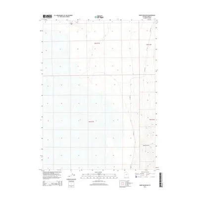
2014 Map of Sheep Mountain
USGS Topo · Published 2014About this map
Sheep Mountain rises as a prominent landmark in this desert region of Box Elder County, where the terrain is defined by the stark topography of the Hogup Mountains. The 2014 survey reveals a landscape largely shaped by its arid isolation, with access provided by a few established routes such as Flat Rd and W Hogup Rd. This area is characterized by vast open spaces partitioned into sections including t9n r13w and t8n r12w, reflecting the systematic grid of the Public Land Survey System. The map documents the persistent dry-land character of this interior basin, where elevation changes and remote mountain peaks provide the only major geographical variation in an otherwise flat expanse.
Find a feature on this map
8 named features on this map. Tap any name to fly to it.
Don’t see what you’re looking for? This feature index may not catch every label — zoom into the map to look around manually.
Map Details
Editions of this 2014 Sheep Mountain Map
This is the sole edition of this map. No revisions or reprints were ever made.
Other maps of this area

1954 · Brigham City
USGS Topo · 1:250,000

1958 · Brigham City
USGS Topo · 1:250,000

1962 · Brigham City
USGS Topo · 1:250,000

1969 · Hogup Bar
USGS Topo · 1:24,000

1971 · Red Dome
USGS Topo · 1:24,000

1971 · Matlin
USGS Topo · 1:24,000

1983 · Lemay
USGS Topo · 1:24,000

1983 · Terrace Mountain East
USGS Topo · 1:24,000

1983 · Sheep Mountain
USGS Topo · 1:24,000

1983 · Groome
USGS Topo · 1:24,000