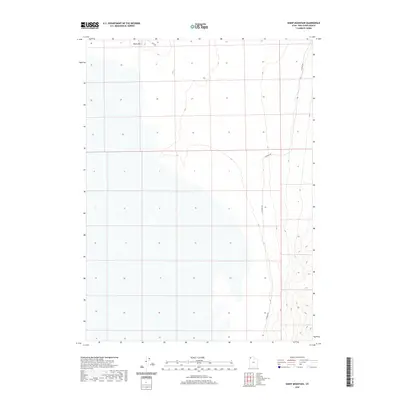
2020 Map of Sheep Mountain
USGS Topo · Published 2020About this map
Sheep Mtn rises as the dominant landmark in this desert expanse of Box Elder County, where the topography reveals a landscape defined by isolation and high-elevation terrain. This 2020 record of the region shows the alignment of W Hogup Rd as it skirts the eastern base of the mountain, while Flat Rd traverses the northwestern portion of the sheet. The sparse road network and lack of established settlements underscore the remote character of this part of Utah, providing a baseline for researchers tracking the minimal infrastructure and land use patterns in the Great Basin. The map is primarily an study of landforms and drainage, capturing the subtle contours of the flats and the steep rise of the mountain range.
Find a feature on this map
3 named features on this map. Tap any name to fly to it.
Don’t see what you’re looking for? This feature index may not catch every label — zoom into the map to look around manually.
Map Details
Editions of this 2020 Sheep Mountain Map
This is the sole edition of this map. No revisions or reprints were ever made.
Other maps of this area

1954 · Brigham City
USGS Topo · 1:250,000

1958 · Brigham City
USGS Topo · 1:250,000

1962 · Brigham City
USGS Topo · 1:250,000

1969 · Hogup Bar
USGS Topo · 1:24,000

1971 · Red Dome
USGS Topo · 1:24,000

1971 · Matlin
USGS Topo · 1:24,000

1983 · Lemay
USGS Topo · 1:24,000

1983 · Terrace Mountain East
USGS Topo · 1:24,000

1983 · Sheep Mountain
USGS Topo · 1:24,000

1983 · Groome
USGS Topo · 1:24,000