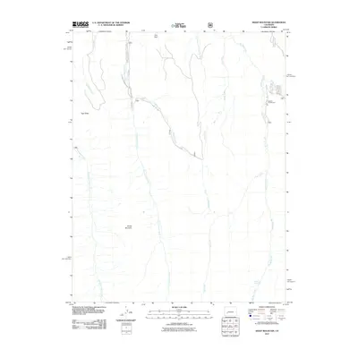
2011 Map of Sheep Mountain
USGS Topo · Published 2011About this map
Sheep Mountain dominates this portion of the Colorado high country, serving as a literal high point in a landscape defined by its intricate drainage systems. The Little Cimarron River and the East Fork Cimarron River carve deep paths through the western and central sections, while Big Blue Creek flows through the eastern reaches. The presence of Big Blue Campground near Co RD 865 indicates the area's role as a destination for outdoor recreation within the forest.
Find a feature on this map
23 named features on this map. Tap any name to fly to it.
Don’t see what you’re looking for? This feature index may not catch every label — zoom into the map to look around manually.
Map Details
Editions of this 2011 Sheep Mountain Map
This is the sole edition of this map. No revisions or reprints were ever made.
Other maps of this area

1902 · Ouray
USGS Topo · 1:62,500

1903 · Lake City
USGS Topo · 1:62,500

1904 · Ouray
USGS Topo · 1:62,500

1905 · Lake City
USGS Topo · 1:62,500

1908 · Uncompahgre
USGS Topo · 1:125,000

1909 · Montrose
USGS Topo · 1:125,000

1911 · Uncompahgre
USGS Topo · 1:125,000

1911 · Montrose
USGS Topo · 1:125,000

1956 · Montrose
USGS Topo · 1:250,000

1959 · Montrose
USGS Topo · 1:250,000