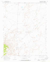
1966 Map of Sheep Springs
USGS Topo · Published 1978About this map
Navajo Indian Reservation lands in San Juan County define this 1960s topographic study, where the arid high-desert terrain is carved by the seasonal paths of Tuntsa Wash and Sheep Springs Wash. The settlement of Sheep Springs serves as a primary reference point in the southern portion of the quadrangle, situated near a local Gravel Pit and the convergence of several unimproved roads. To the north, the isolated location of Black House sits below the prominent elevation of Grey Mesa, illustrating the sparse and remote nature of residential patterns in this region of New Mexico. The presence of a mapped Well and numerous fence lines underscores the importance of water management and grazing boundaries within this sprawling landscape. This survey provides a precise look at the infrastructure and land use in the Navajo Nation shortly after mid-century.
Find a feature on this map
8 named features on this map. Tap any name to fly to it.
Don’t see what you’re looking for? This feature index may not catch every label — zoom into the map to look around manually.
Map Details
Editions of this 1966 Sheep Springs Map
2 editions found
Other maps of this area

1889 · Chaco
USGS Topo · 1:250,000

1892 · Chaco
USGS Topo · 1:250,000

1927 · Sulphur Spring
USGS Topo · 1:96,000

1928 · Kirtland
USGS Topo · 1:125,000

1932 · Kirtland
USGS Topo · 1:125,000

1953 · Sanostee
USGS Topo · 1:62,500

1954 · Shiprock
USGS Topo · 1:250,000

1958 · Shiprock
USGS Topo · 1:250,000

1959 · Shiprock
USGS Topo · 1:250,000
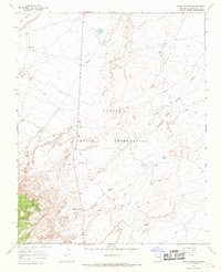
1966 · Sheep Springs
USGS Topo · 1:24,000