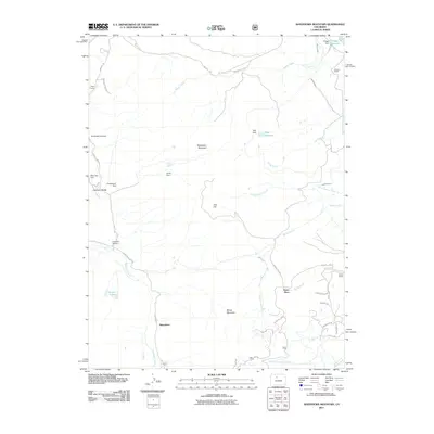
2011 Map of Sheephorn Mountain
USGS Topo · Published 2011About this map
Sheephorn Mountain and the adjacent Sheep Mountain dominate this high-country landscape, where ranching and water management define the local geography. Established family holdings like Noonan Ranch, Doenz Place, and Smith Ranch are connected by a network of rural routes, including Trough Rd and County Rd 1830. The presence of the Sheephorn Cemetery near the former settlement of Sheephorn provides a significant anchor for genealogists studying the early inhabitants of this region.
Find a feature on this map
41 named features on this map. Tap any name to fly to it.
Don’t see what you’re looking for? This feature index may not catch every label — zoom into the map to look around manually.
Map Details
Editions of this 2011 Sheephorn Mountain Map
This is the sole edition of this map. No revisions or reprints were ever made.
Other maps of this area

1933 · Mt. Powell
USGS Topo · 1:48,000

1940 · Mount Powell
USGS Topo · 1:62,500

1954 · Craig
USGS Topo · 1:250,000

1956 · Kremmling
USGS Topo · 1:62,500

1956 · Gore Pass
USGS Topo · 1:62,500

1957 · Craig
USGS Topo · 1:250,000

1957 · Leadville
USGS Topo · 1:250,000

1958 · Craig
USGS Topo · 1:250,000

1959 · Leadville
USGS Topo · 1:250,000

1960 · Leadville
USGS Topo · 1:250,000