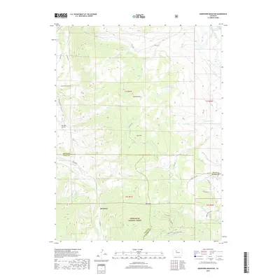
2019 Map of Sheephorn Mountain
USGS Topo · Published 2019About this map
Sheephorn and its surrounding high-country terrain are meticulously documented in this survey of the northern Colorado Rockies, where the borders of Grand, Eagle, and Summit counties converge. The landscape is defined by significant elevations like Sheephorn Mtn, Sheep Mtn, and the distinctive Dice Hill, separated by drainages such as Sheephorn Cr and N Spruce Cr. These natural features, alongside Hartman Divide, illustrate the complex topography that historically influenced movement and settlement in the region.
Find a feature on this map
41 named features on this map. Tap any name to fly to it.
Don’t see what you’re looking for? This feature index may not catch every label — zoom into the map to look around manually.
Map Details
Editions of this 2019 Sheephorn Mountain Map
This is the sole edition of this map. No revisions or reprints were ever made.
Other maps of this area

1933 · Mt. Powell
USGS Topo · 1:48,000

1940 · Mount Powell
USGS Topo · 1:62,500

1954 · Craig
USGS Topo · 1:250,000

1956 · Kremmling
USGS Topo · 1:62,500

1956 · Gore Pass
USGS Topo · 1:62,500

1957 · Craig
USGS Topo · 1:250,000

1957 · Leadville
USGS Topo · 1:250,000

1958 · Craig
USGS Topo · 1:250,000

1959 · Leadville
USGS Topo · 1:250,000

1960 · Leadville
USGS Topo · 1:250,000