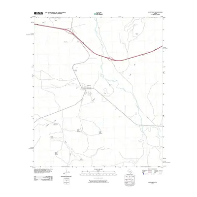
2010 Map of Sheffield
USGS Topo · Published 2010About this map
The town of Sheffield is the central hub of this West Texas landscape, positioned where the Pecos River carves its way through the limestone terrain of Pecos County. Just north of the settlement, Pecos Spring serves as a vital water source in this arid environment, while the Sheffield Cemetery provides a quiet record of local genealogy on the town's outskirts. The map illustrates a landscape of deep draws and canyons, including the curiously named Hog Canyon and Musk Hog Canyon, which drain toward the river.
Find a feature on this map
20 named features on this map. Tap any name to fly to it.
Don’t see what you’re looking for? This feature index may not catch every label — zoom into the map to look around manually.
Map Details
Editions of this 2010 Sheffield Map
This is the sole edition of this map. No revisions or reprints were ever made.
Other maps of this area

1929 · Sheffield
USGS Topo · 1:125,000

1954 · Sonora
USGS Topo · 1:250,000

1958 · Sonora
USGS Topo · 1:250,000

1967 · Divide Country
USGS Topo · 1:24,000

1967 · Sheffield NW
USGS Topo · 1:24,000

1967 · Horsehead Canyon
USGS Topo · 1:24,000

1967 · Deer Canyon
USGS Topo · 1:24,000

1967 · Fort Lancaster
USGS Topo · 1:24,000

1967 · Sheffield SE
USGS Topo · 1:24,000

1967 · Dead Man Canyon
USGS Topo · 1:24,000