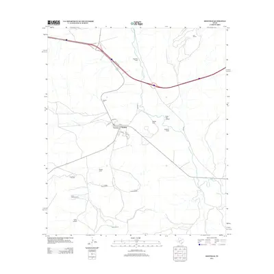
2012 Map of Sheffield
USGS Topo · Published 2012About this map
The town of Sheffield sits at a geographic crossroads in West Texas, established near the reliable waters of Pecos Spring. This 2012 survey illustrates a landscape defined by the drainage patterns of Twomile Draw and Sheffield Draw as they converge toward the Pecos River. The grid of the settlement is clearly visible, featuring local thoroughfares like Pine St and Southern St, while the Sheffield Cem lies just to the northwest.
Find a feature on this map
28 named features on this map. Tap any name to fly to it.
Don’t see what you’re looking for? This feature index may not catch every label — zoom into the map to look around manually.
Map Details
Editions of this 2012 Sheffield Map
This is the sole edition of this map. No revisions or reprints were ever made.
Other maps of this area

1929 · Sheffield
USGS Topo · 1:125,000

1954 · Sonora
USGS Topo · 1:250,000

1958 · Sonora
USGS Topo · 1:250,000

1967 · Divide Country
USGS Topo · 1:24,000

1967 · Sheffield NW
USGS Topo · 1:24,000

1967 · Horsehead Canyon
USGS Topo · 1:24,000

1967 · Deer Canyon
USGS Topo · 1:24,000

1967 · Fort Lancaster
USGS Topo · 1:24,000

1967 · Sheffield SE
USGS Topo · 1:24,000

1967 · Dead Man Canyon
USGS Topo · 1:24,000