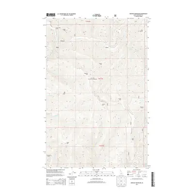
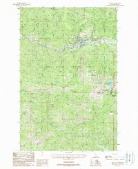
2013 Map of Shefoot Mountain
USGS Topo · Published 2013About this map
St. Joe National Forest dominates this interior portion of Shoshone County, characterized by a complex drainage system and isolated high-elevation landmarks. The N Fork Saint Joe River cuts through the northwest corner, joined by steep tributaries such as Lucky Swede Gulch and Coddington Gulch. Human presence is concentrated along these watercourses, with the small settlements of Pearson and Bogle situated near the river's path, and Falcon located further east along the winding Loop Cr.
Find a feature on this map
50 named features on this map. Tap any name to fly to it.
Don’t see what you’re looking for? This feature index may not catch every label — zoom into the map to look around manually.
Map Details
Editions of this 2013 Shefoot Mountain Map
This is the sole edition of this map. No revisions or reprints were ever made.
Other maps of this area

1914 · Avery
USGS Topo · 1:125,000

1917 · Avery
USGS Topo · 1:125,000

1956 · Saltese
USGS Topo · 1:62,500

1956 · Wallace
USGS Topo · 1:250,000

1957 · Wallace
USGS Topo · 1:62,500

1960 · Wallace
USGS Topo · 1:250,000
1969 · Thor Mountain
USGS Topo · 1:24,000
1969 · Three Sisters
USGS Topo · 1:24,000
1969 · Fishhook Creek
USGS Topo · 1:24,000
1988 · Mullan
USGS Topo · 1:24,000