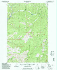
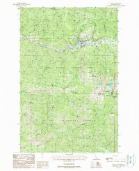
1995 Map of Shefoot Mountain
USGS Topo · Published 1997About this map
The St Joe National Forest dominates this mountain landscape, defined by a series of prominent summits including Shefoot Mountain, Nelson Peak, and Triangle Peak. The map documents a rugged interior where industry and recreation overlap, most notably along the Old RR Grade that winds through the northern drainage. This corridor features the distinctive Loop and several engineered Tunnels, marking a complex historical transportation route through the timbered heights.
Find a feature on this map
43 named features on this map. Tap any name to fly to it.
Don’t see what you’re looking for? This feature index may not catch every label — zoom into the map to look around manually.
Map Details
Editions of this 1995 Shefoot Mountain Map
This is the sole edition of this map. No revisions or reprints were ever made.
Other maps of this area

1914 · Avery
USGS Topo · 1:125,000

1917 · Avery
USGS Topo · 1:125,000

1956 · Saltese
USGS Topo · 1:62,500

1956 · Wallace
USGS Topo · 1:250,000

1957 · Wallace
USGS Topo · 1:62,500

1960 · Wallace
USGS Topo · 1:250,000
1969 · Thor Mountain
USGS Topo · 1:24,000
1969 · Three Sisters
USGS Topo · 1:24,000
1969 · Fishhook Creek
USGS Topo · 1:24,000
1988 · Mullan
USGS Topo · 1:24,000