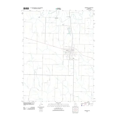
2012 Map of Shelbina
USGS Topo · Published 2012About this map
Shelbina stands at the center of this agricultural landscape in northeast Missouri, its grid iron-pressed against the rail lines and major thoroughfares. The town serves as the primary hub for the surrounding countryside, where small family-named landmarks like Wood Cemetery and Smith Cemetery punctuate the farmsteads. To the north, the terrain is defined by the winding course of the North Fork Salt River and the settlement at Walkersville.
Find a feature on this map
67 named features on this map. Tap any name to fly to it.
Don’t see what you’re looking for? This feature index may not catch every label — zoom into the map to look around manually.
Map Details
Editions of this 2012 Shelbina Map
This is the sole edition of this map. No revisions or reprints were ever made.
Other maps of this area

1903 · Palmyra
USGS Topo · 1:125,000

1948 · Quincy
USGS Topo · 1:250,000

1953 · Moberly
USGS Topo · 1:250,000

1954 · Moberly
USGS Topo · 1:250,000

1956 · Quincy
USGS Topo · 1:250,000

1957 · Moberly
USGS Topo · 1:250,000

1958 · Lentner
USGS Topo · 1:24,000

1959 · Shelbina
USGS Topo · 1:24,000

1959 · Lakenan
USGS Topo · 1:24,000
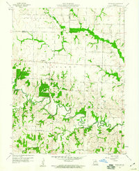
1959 · Woodlawn
USGS Topo · 1:24,000