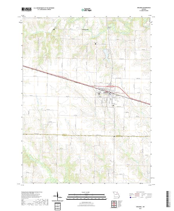
2021 Map of Shelbina
USGS Topo · Published 2021About this map
The Shelbina city street grid serves as the anchor of this Shelby County landscape, where the municipal layout meets the agricultural surroundings of north-central Missouri. To the north, the small settlement of Walkersville sits along the North Fork Salt River, where the Salt River Bridge facilitates travel across the water. The map documents a rural network of county roads and family cemeteries, including Smith Cem and Wood Cem, which offer significant value for genealogists tracking local heritage.
Find a feature on this map
86 named features on this map. Tap any name to fly to it.
Don’t see what you’re looking for? This feature index may not catch every label — zoom into the map to look around manually.
Map Details
Editions of this 2021 Shelbina Map
This is the sole edition of this map. No revisions or reprints were ever made.
