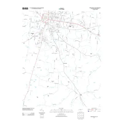
2013 Map of Shelbyville
USGS Topo · Published 2013About this map
The Tennessee Walking Horse National Showgrounds occupies a prominent position in this landscape, reflecting the deep equestrian traditions of the region. The map captures the meandering path of the Duck River, which flows through the heart of the area, creating distinct landforms such as Coney Island and Green Island. The rural character is defined by numerous family-named landmarks and water crossings, including historical river access points like Skull Camp Ford, Kizer Ford, and Hix Mill Ford.
Find a feature on this map
167 named features on this map. Tap any name to fly to it.
Don’t see what you’re looking for? This feature index may not catch every label — zoom into the map to look around manually.
Map Details
Editions of this 2013 Shelbyville Map
This is the sole edition of this map. No revisions or reprints were ever made.
Other maps of this area

1936 · Booneville
USGS Topo · 1:24,000

1936 · Shelbyville
USGS Topo · 1:24,000

1936 · Deason
USGS Topo · 1:24,000

1936 · Cumberland Springs
USGS Topo · 1:24,000

1936 · Belleville
USGS Topo · 1:24,000

1936 · Wartrace
USGS Topo · 1:24,000

1936 · Unionville
USGS Topo · 1:24,000

1936 · Bedford
USGS Topo · 1:24,000

1936 · Normandy
USGS Topo · 1:24,000

1941 · Cumberland Springs
USGS Topo · 1:24,000