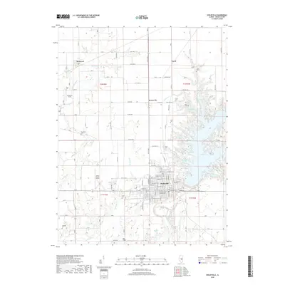
2018 Map of Shelbyville
USGS Topo · Published 2018About this map
Shelbyville dominates the landscape of central Illinois in this modern survey, where the town grid meets the winding eastern shoreline of Lake Shelbyville. The map illustrates the extensive network of inlets and coves created by the reservoir, including Coon Cove and Opossum Cove, which have significantly altered the local geography. Beyond the municipal limits, the surrounding prairie remains largely agricultural, punctuated by small hamlets like Westervelt and Bee Ridge. For genealogists and local historians, this record is particularly useful for its documentation of numerous rural burial grounds, such as Glenwood Cem, Bethel Cem, and the remote Wendling Cem. The western half of the map is defined by the drainage of Robinson Creek, while the Kaskaskia River flows south from the dam, passing near Langley Pond.
Find a feature on this map
72 named features on this map. Tap any name to fly to it.
Don’t see what you’re looking for? This feature index may not catch every label — zoom into the map to look around manually.
Map Details
Editions of this 2018 Shelbyville Map
This is the sole edition of this map. No revisions or reprints were ever made.
Other maps of this area

1935 · Sullivan
USGS Topo · 1:48,000

1940 · Sullivan
USGS Topo · 1:62,500

1942 · Shelbyville
USGS Topo · 1:62,500

1946 · Shelbyville
USGS Topo · 1:62,500

1947 · Stewardson
USGS Topo · 1:62,500

1949 · Stewardson
USGS Topo · 1:62,500

1949 · Dalton City
USGS Topo · 1:62,500

1958 · Decatur
USGS Topo · 1:250,000

1961 · Decatur
USGS Topo · 1:250,000

1980 · Middlesworth
USGS Topo · 1:24,000