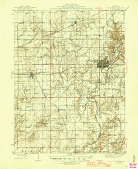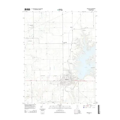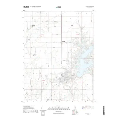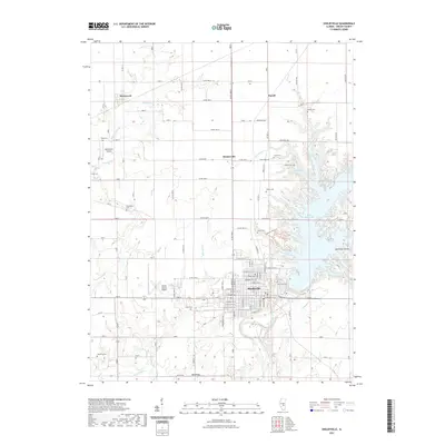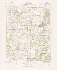
1942 Map of Shelbyville
USGS Topo · Published 1970About this map
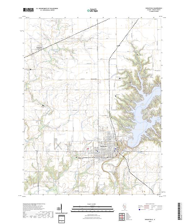
The Kaskaskia River winds southward through this 1942 survey, serving as a primary corridor for a landscape of small agricultural settlements and rural infrastructure. The county seat of Shelbyville stands as a central hub, flanked by the Glenwood Cem and connected to the hinterlands via the Chicago and Eastern Illinois and Baltimore and Ohio railroads. Notable rural landmarks like the County Poor Farm and the Town House reflect the social organization of the era, while the numerous country schools such as Empire Sch and Little Brick Sch suggest a highly localized community structure. The map provides a look at the transition between high ground and river bottoms, marked by features like Williamsburg Hill and several named crossings including the Thompson Mill Bridge and Copeland Bridge.
Find a feature on this map
93 named features on this map. Tap any name to fly to it.
Don’t see what you’re looking for? This feature index may not catch every label — zoom into the map to look around manually.
Map Details
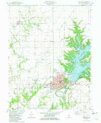
Editions of this 1942 Shelbyville Map
2 editions found
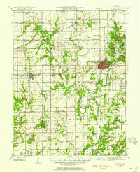
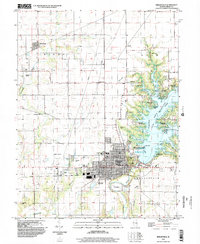
Historical Maps of Shelbyville Through Time
9 maps found