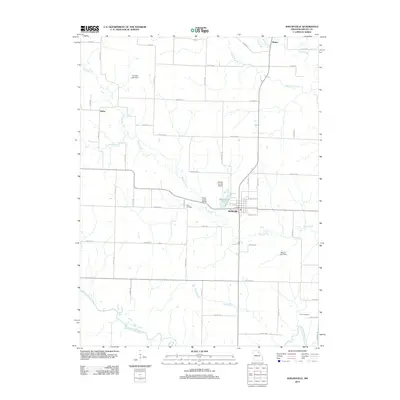
2012 Map of Shelbyville
USGS Topo · Published 2012About this map
Shelbyville serves as the focal point of this 2012 survey, situated at the intersection of a sprawling rural road network and the winding course of Black Creek. The landscape is defined by its agricultural character and water management, featuring several significant impoundments including Shelbyville Lake and the Trenhaile Lake Dam to the northwest. These water features, alongside the North Fork Salt River in the south, illustrate the drainage patterns essential to the county's farming economy. Small historic settlements like Kirby and Mamre remain marked on the map, preserving the locations of earlier community hubs in Shelby County.
Find a feature on this map
59 named features on this map. Tap any name to fly to it.
Don’t see what you’re looking for? This feature index may not catch every label — zoom into the map to look around manually.
Map Details
Editions of this 2012 Shelbyville Map
This is the sole edition of this map. No revisions or reprints were ever made.
Other maps of this area

1903 · Palmyra
USGS Topo · 1:125,000

1948 · Quincy
USGS Topo · 1:250,000

1953 · Moberly
USGS Topo · 1:250,000

1954 · Moberly
USGS Topo · 1:250,000

1956 · Quincy
USGS Topo · 1:250,000

1957 · Moberly
USGS Topo · 1:250,000

1958 · Lentner
USGS Topo · 1:24,000

1959 · Shelbina
USGS Topo · 1:24,000

1959 · Lakenan
USGS Topo · 1:24,000

1960 · Moberly
USGS Topo · 1:250,000