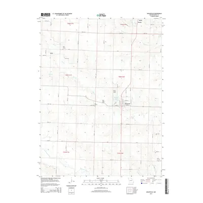
2014 Map of Shelbyville
USGS Topo · Published 2014About this map
Shelbyville serves as the central hub of this Missouri landscape, situated near the headwaters of the North Fork Salt River. The town's grid is bounded by Shelbyville Lake and the Black Cr, where the historic Black Creek Bridge facilitates local travel. The surrounding countryside is defined by agricultural section lines and a network of county roads like Shelby 208 and Shelby 330. Smaller settlements such as Kirby, Bethel, and Mamre dot the northern reaches of the quadrangle, connected by waterways like the North River and Mesner Br. Genealogists will find significant value in the documentation of local burial sites, including Forest Grove Cemetery, Hiles Cemetery, and Eaton Cemetery, which are preserved alongside modern infrastructure like the Shelby County Airport.
Find a feature on this map
66 named features on this map. Tap any name to fly to it.
Don’t see what you’re looking for? This feature index may not catch every label — zoom into the map to look around manually.
Map Details
Editions of this 2014 Shelbyville Map
This is the sole edition of this map. No revisions or reprints were ever made.
Other maps of this area

1903 · Palmyra
USGS Topo · 1:125,000

1948 · Quincy
USGS Topo · 1:250,000

1953 · Moberly
USGS Topo · 1:250,000

1954 · Moberly
USGS Topo · 1:250,000

1956 · Quincy
USGS Topo · 1:250,000

1957 · Moberly
USGS Topo · 1:250,000

1958 · Lentner
USGS Topo · 1:24,000

1959 · Shelbina
USGS Topo · 1:24,000

1959 · Lakenan
USGS Topo · 1:24,000

1960 · Moberly
USGS Topo · 1:250,000