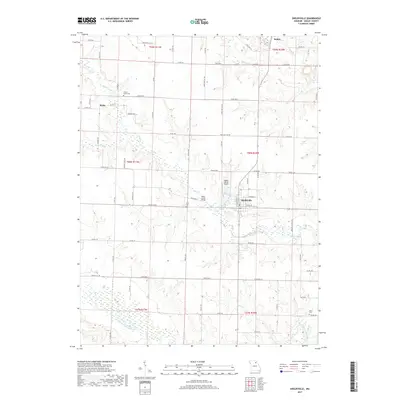
2017 Map of Shelbyville
USGS Topo · Published 2017About this map
Shelbyville serves as the focal point of this Shelby County landscape, situated at the junction of several regional routes including State HWY K and State HWY Co 208. The town’s grid is centered near Shelbyville Lake and the Black Creek Bridge, with the Shelby County Airport located just to the northwest. This 2017 survey illustrates a predominantly agricultural region defined by the meandering courses of the North Fork Salt River and Black Cr, which create a complex drainage pattern across the central Missouri plains.
Find a feature on this map
79 named features on this map. Tap any name to fly to it.
Don’t see what you’re looking for? This feature index may not catch every label — zoom into the map to look around manually.
Map Details
Editions of this 2017 Shelbyville Map
This is the sole edition of this map. No revisions or reprints were ever made.
Other maps of this area

1903 · Palmyra
USGS Topo · 1:125,000

1948 · Quincy
USGS Topo · 1:250,000

1953 · Moberly
USGS Topo · 1:250,000

1954 · Moberly
USGS Topo · 1:250,000

1956 · Quincy
USGS Topo · 1:250,000

1957 · Moberly
USGS Topo · 1:250,000

1958 · Lentner
USGS Topo · 1:24,000

1959 · Shelbina
USGS Topo · 1:24,000

1959 · Lakenan
USGS Topo · 1:24,000

1960 · Moberly
USGS Topo · 1:250,000