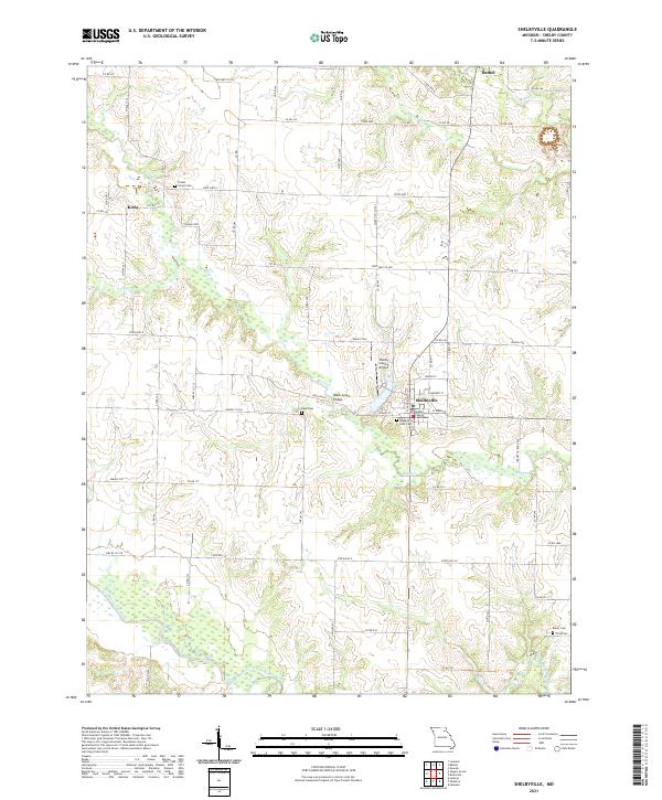
2021 Map of Shelbyville
USGS Topo · Published 2021About this map
The Shelby County Courthouse serves as the focal point for this section of northeast Missouri, anchoring the grid of Shelbyville. The landscape is defined by the winding paths of the North Fork Salt River and South Fork Salt River, which carve through the undulating terrain alongside numerous tributaries like Black Cr and Pollard Br. This survey captures the rural character of the county, where small settlements like Bethel and Kirby are connected by a network of state highways and county roads.
Find a feature on this map
51 named features on this map. Tap any name to fly to it.
Don’t see what you’re looking for? This feature index may not catch every label — zoom into the map to look around manually.
Map Details
Editions of this 2021 Shelbyville Map
This is the sole edition of this map. No revisions or reprints were ever made.
Other maps of this area

1903 · Palmyra
USGS Topo · 1:125,000

1948 · Quincy
USGS Topo · 1:250,000

1953 · Moberly
USGS Topo · 1:250,000

1954 · Moberly
USGS Topo · 1:250,000

1956 · Quincy
USGS Topo · 1:250,000

1957 · Moberly
USGS Topo · 1:250,000

1958 · Lentner
USGS Topo · 1:24,000

1959 · Shelbina
USGS Topo · 1:24,000

1959 · Lakenan
USGS Topo · 1:24,000

1960 · Moberly
USGS Topo · 1:250,000