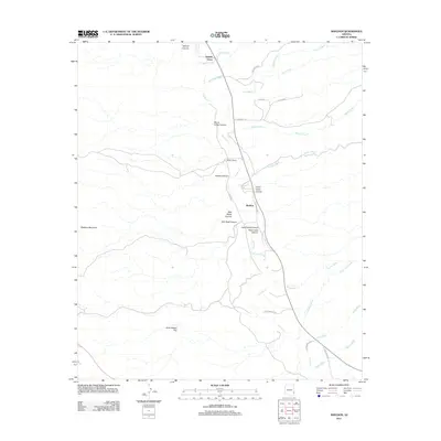
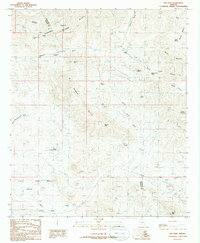
2011 Map of Sheldon
USGS Topo · Published 2011About this map
The Gila River carves a central path through this section of Greenlee County, creating a riparian corridor that has long supported local ranching and settlement. The small community of Sheldon serves as a focal point along the river, flanked by family-named landmarks such as McKeon Ranch and the open expanse of Ervie Adams Flat. The terrain is defined by a complex network of drainage systems, including Sandia Wash, Bitter Creek, and Kaywood Wash, which cut through the high ground toward the river valley.
Find a feature on this map
34 named features on this map. Tap any name to fly to it.
Don’t see what you’re looking for? This feature index may not catch every label — zoom into the map to look around manually.
Map Details
Editions of this 2011 Sheldon Map
This is the sole edition of this map. No revisions or reprints were ever made.
Other maps of this area

1954 · Silver City
USGS Topo · 1:250,000

1958 · Silver City
USGS Topo · 1:250,000

1959 · York Valley
USGS Topo · 1:62,500

1960 · Guthrie
USGS Topo · 1:62,500

1960 · Duncan
USGS Topo · 1:62,500

1962 · Silver City
USGS Topo · 1:250,000
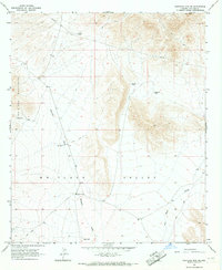
1966 · Whitlock Mts. NE
USGS Topo · 1:24,000
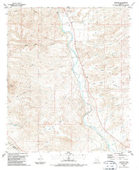
1986 · Sheldon
USGS Topo · 1:24,000
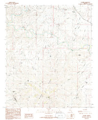
1986 · Guthrie
USGS Topo · 1:24,000
1986 · Ash Peak
USGS Topo · 1:24,000