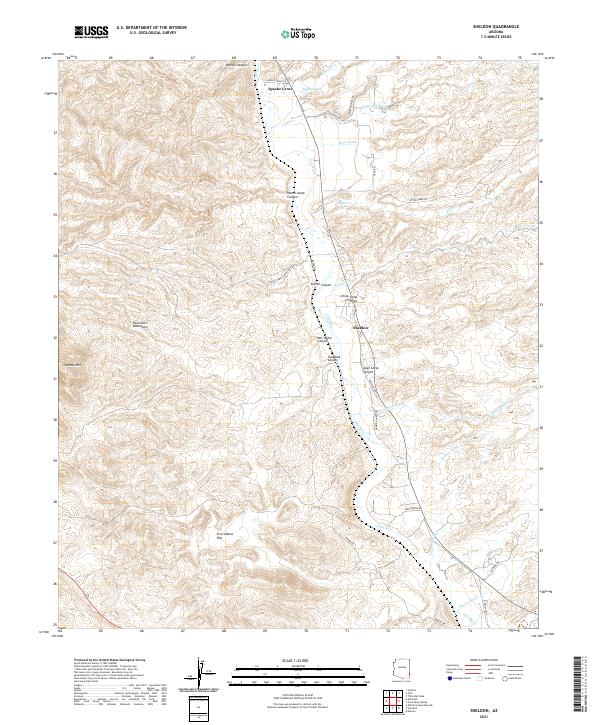
2021 Map of Sheldon
USGS Topo · Published 2021About this map
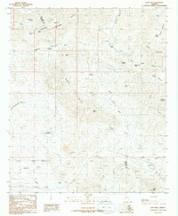
The Gila River corridor dominates this landscape in Greenlee County, serving as the primary axis for local settlement and transport. Apache Grove and Sheldon are the principal points of interest, situated along the valley floor where seasonal drainage systems like Kaywood Wash and Bitter Cr descend from the surrounding highlands. The topography is defined by a dense network of deeply etched canyons, many of which bear names suggesting a history of early ranching and seasonal encampments, such as China Camp Canyon, Goat Camp Canyon, and Harris Camp Canyon.
Find a feature on this map
20 named features on this map. Tap any name to fly to it.
Don’t see what you’re looking for? This feature index may not catch every label — zoom into the map to look around manually.
Map Details
Editions of this 2021 Sheldon Map
This is the sole edition of this map. No revisions or reprints were ever made.
Other maps of this area

1954 · Silver City
USGS Topo · 1:250,000

1958 · Silver City
USGS Topo · 1:250,000

1959 · York Valley
USGS Topo · 1:62,500

1960 · Guthrie
USGS Topo · 1:62,500

1960 · Duncan
USGS Topo · 1:62,500

1962 · Silver City
USGS Topo · 1:250,000
1966 · Whitlock Mts. NE
USGS Topo · 1:24,000
1986 · Sheldon
USGS Topo · 1:24,000
1986 · Guthrie
USGS Topo · 1:24,000
1986 · Ash Peak
USGS Topo · 1:24,000