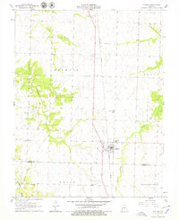
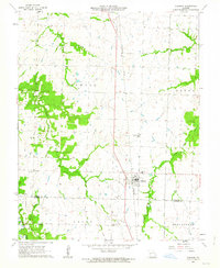
1962 Map of Sheldon
USGS Topo · Published 1979About this map
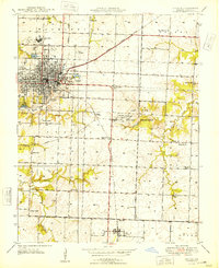
Sheldon serves as the central hub of this agricultural landscape in the early 1960s, situated right at the Vernon Co Barton Co line. The town's grid is anchored by the Missouri Pacific railroad, which runs north-south through the terrain. The surrounding countryside is dotted with small rural institutions that suggest a deeply rooted community, including churches like Avola Ch and Shanghi Ch, and several local schools such as Oak Grove Sch and Prairie View Sch.
Find a feature on this map
23 named features on this map. Tap any name to fly to it.
Don’t see what you’re looking for? This feature index may not catch every label — zoom into the map to look around manually.
Map Details
Editions of this 1962 Sheldon Map
2 editions found
Other maps of this area

1886 · Nevada
USGS Topo · 1:125,000

1894 · Nevada
USGS Topo · 1:125,000

1933 · Camp Clark
USGS Topo · 1:24,000

1939 · Dederick
USGS Topo · 1:24,000

1939 · Moundville
USGS Topo · 1:24,000
1942 · Dederick
USGS Topo · 1:24,000
1942 · Moundville
USGS Topo · 1:24,000

1947 · Joplin
USGS Topo · 1:250,000
1948 · Nevada
USGS Topo · 1:24,000

1949 · Joplin
USGS Topo · 1:250,000