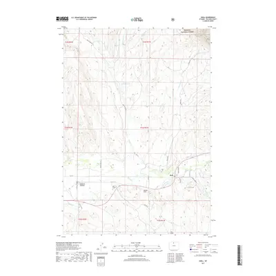
2017 Map of Shell
USGS Topo · Published 2017About this map
Shell sits at the eastern edge of the Big Horn Basin, where the high desert terrain meets the rising slopes of the Bighorn National Forest. This 2017 survey details a landscape defined by water management and the transition from mountain foothills to agricultural lowlands. The complex irrigation network is evident through features like the Shell Canal, High Line Ditch, and Whaley-Ditch, which divert water from Shell Cr to support the local ranching economy.
Find a feature on this map
40 named features on this map. Tap any name to fly to it.
Don’t see what you’re looking for? This feature index may not catch every label — zoom into the map to look around manually.
Map Details
Editions of this 2017 Shell Map
This is the sole edition of this map. No revisions or reprints were ever made.
Other maps of this area

1898 · Bald Mountain
USGS Topo · 1:125,000

1901 · Bald Mountain
USGS Topo · 1:125,000

1955 · Sheridan
USGS Topo · 1:250,000

1958 · Sheridan
USGS Topo · 1:250,000

1960 · White Sulphur Spring
USGS Topo · 1:24,000

1960 · Black Mountain
USGS Topo · 1:24,000

1960 · Manderson NE
USGS Topo · 1:24,000

1960 · Hidden Tepee Creek
USGS Topo · 1:24,000

1960 · Devils Kitchen
USGS Topo · 1:24,000

1960 · Shell
USGS Topo · 1:24,000