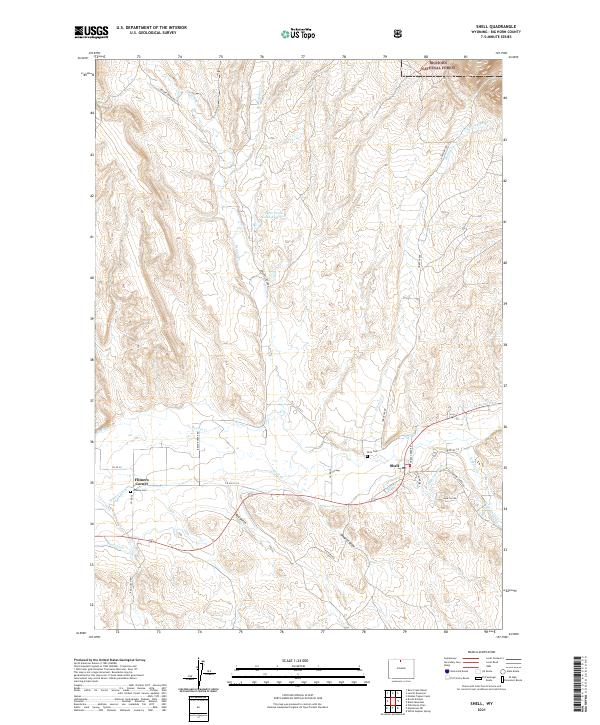
2021 Map of Shell
USGS Topo · Published 2021About this map
Shell Cr flows through a landscape defined by ranching and irrigation in this northern Wyoming valley. Near the crossroads at Flitners Corner, a complex network of man-made waterways including the Whaley Ditch, Keehner Ditch, and Shell Canal reveals the extensive effort required to manage water in the arid Bighorn Basin. This infrastructure supported the local agricultural economy and early settlements that gathered near the base of the Bighorn National Forest mountains.
Find a feature on this map
39 named features on this map. Tap any name to fly to it.
Don’t see what you’re looking for? This feature index may not catch every label — zoom into the map to look around manually.
Map Details
Editions of this 2021 Shell Map
This is the sole edition of this map. No revisions or reprints were ever made.
Other maps of this area

1898 · Bald Mountain
USGS Topo · 1:125,000

1901 · Bald Mountain
USGS Topo · 1:125,000

1955 · Sheridan
USGS Topo · 1:250,000

1958 · Sheridan
USGS Topo · 1:250,000

1960 · White Sulphur Spring
USGS Topo · 1:24,000

1960 · Black Mountain
USGS Topo · 1:24,000

1960 · Manderson NE
USGS Topo · 1:24,000

1960 · Hidden Tepee Creek
USGS Topo · 1:24,000

1960 · Devils Kitchen
USGS Topo · 1:24,000

1960 · Shell
USGS Topo · 1:24,000