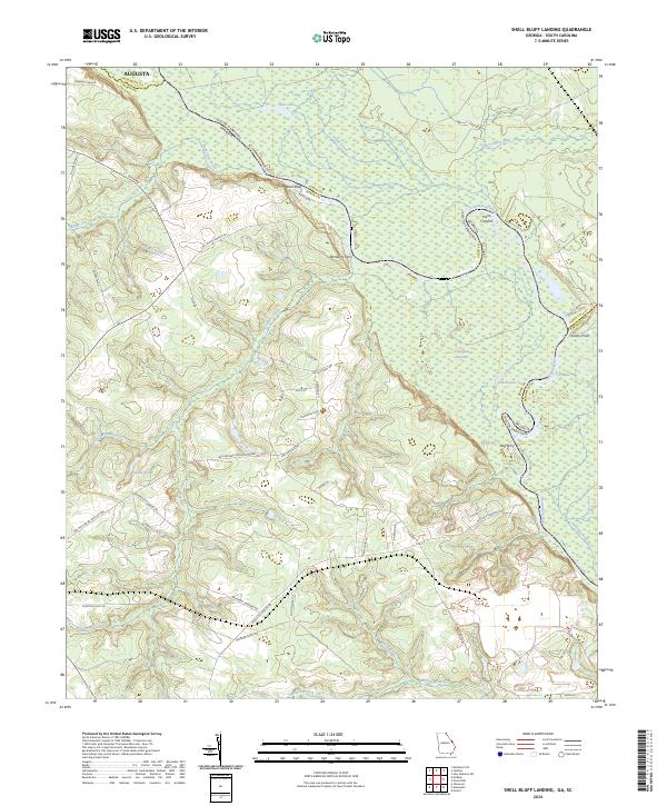
2024 Map of Shell Bluff Landing
USGS Topo · Published 2024About this map
Shell Bluff stands as a prominent landmark on the high banks of the Savannah River along the Georgia-South Carolina border. This riverine landscape is defined by the shifting waters that separate Burke County from Aiken and Barnwell counties, creating a complex network of oxbows and backwaters such as Bent Lake, Black Lake, and Red Lake. The mapping reveals a history of river crossings, specifically at Demaries Ferry and Dog Ferry, which once provided critical connections between the states. Inland from the bluffs, the terrain transitions into the dense D'Antignac Swamp and is dissected by numerous waterways including Upper Three Runs and Boggy Gut Creek. A network of rural roads, such as Nathaniel Howard Rd and Ben Hatcher Rd, connects scattered dwellings and agricultural lands, reflecting the enduring rural character of this border region.
Find a feature on this map
47 named features on this map. Tap any name to fly to it.
Don’t see what you’re looking for? This feature index may not catch every label — zoom into the map to look around manually.
Map Details
Editions of this 2024 Shell Bluff Landing Map
This is the sole edition of this map. No revisions or reprints were ever made.
Other maps of this area

1920 · Ellenton
USGS Topo · 1:48,000

1920 · Greens Cut
USGS Topo · 1:62,500

1920 · Talatha
USGS Topo · 1:48,000

1921 · Augusta
USGS Topo · 1:62,500

1921 · Talatha
USGS Topo · 1:62,500

1921 · Ellenton
USGS Topo · 1:62,500

1943 · Greens Cut
USGS Topo · 1:62,500

1943 · Augusta East
USGS Topo · 1:125,000

1943 · Talatha
USGS Topo · 1:62,500

1943 · Augusta
USGS Topo · 1:62,500