
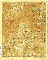
1927 Map of Shell Knob
USGS Topo · Published 1927About this map
The winding loops of the White River and the James River dominate this 1925 survey, showing the Ozark landscape before the creation of modern reservoirs. This terrain is defined by a dense network of water-level crossings such as Edwards Ford and Big Creek Ford, alongside the Schreiner Ferry, which served as vital transit points between isolated hill settlements. Small rural communities like Shell Knob and Viola are anchored by a high concentration of one-room schoolhouses, including Gaddis School, Pineview School, and Roach School, reflecting the era's localized educational structure.
Find a feature on this map
94 named features on this map. Tap any name to fly to it.
Don’t see what you’re looking for? This feature index may not catch every label — zoom into the map to look around manually.
Map Details
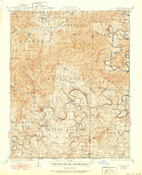
Editions of this 1927 Shell Knob Map
3 editions found
Other maps of this area

1900 · Eureka Springs
USGS Topo · 1:125,000

1901 · Eureka Springs
USGS Topo · 1:125,000

1904 · Harrison
USGS Topo · 1:125,000

1905 · Harrison
USGS Topo · 1:125,000

1907 · Forsyth
USGS Topo · 1:125,000

1937 · Cassville
USGS Topo · 1:48,000

1942 · Aurora
USGS Topo · 1:62,500

1943 · Monett
USGS Topo · 1:62,500

1944 · Cassville
USGS Topo · 1:62,500

1945 · Harrison
USGS Topo · 1:250,000