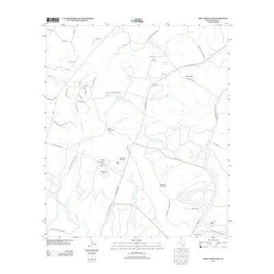
2012 Map of Shell Mountains
USGS Topo · Published 2012About this map
The Fort Hood Military Reservation dominates this central Texas landscape, where the sprawling installation encompasses significant geographical features and local historical markers. Rising above the training grounds are the Shell Mountains and Stampede Mountan, defining a terrain characterized by prominent limestone elevations and deep-cut creek beds like Turnover Cr and Browns Cr. The southern portion of the map features several notable peaks, including Bushy Knob, Williamson Mtn, and the strategic elevation at Shell Point.
Find a feature on this map
55 named features on this map. Tap any name to fly to it.
Don’t see what you’re looking for? This feature index may not catch every label — zoom into the map to look around manually.
Map Details
Editions of this 2012 Shell Mountains Map
This is the sole edition of this map. No revisions or reprints were ever made.
Other maps of this area

1894 · Gatesville
USGS Topo · 1:125,000

1930 · Killeen
USGS Topo · 1:62,500

1947 · Fort Hood
USGS Topo · 1:62,500

1947 · Fort Hood
USGS Topo · 1:24,000

1947 · Purmela
USGS Topo · 1:62,500

1947 · Post Oak Mountain
USGS Topo · 1:24,000

1947 · Killeen
USGS Topo · 1:62,500

1947 · Gatesville West
USGS Topo · 1:24,000

1947 · Pidcoke
USGS Topo · 1:24,000

1947 · North Fort Hood
USGS Topo · 1:24,000