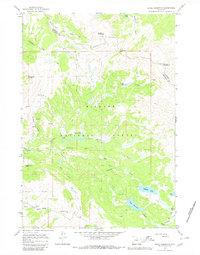
1964 Map of Shell Reservoir
USGS Topo · Published 1980About this map
Shell Reservoir dominates the high-altitude landscape of this 1960s survey, situated along the county line dividing Sheridan Co and Big Horn Co. The area is characterized by a high alpine environment within the Bighorn National Forest, where drainage networks flow from peaks like Dome Peak and Bruce Mountain into systems like the West Fork South Tongue River and Shell Creek. Local activity is centered around remote outposts and seasonal recreation, evidenced by the Ranger Creek Ranch and Ranger Creek Campground.
Find a feature on this map
34 named features on this map. Tap any name to fly to it.
Don’t see what you’re looking for? This feature index may not catch every label — zoom into the map to look around manually.
Map Details
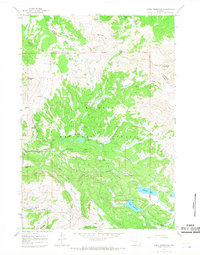
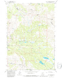
Editions of this 1964 Shell Reservoir Map
3 editions found
Other maps of this area

1895 · Dayton
USGS Topo · 1:125,000

1898 · Bald Mountain
USGS Topo · 1:125,000

1899 · Cloud peak
USGS Topo · 1:125,000

1901 · Cloud Peak
USGS Topo · 1:125,000

1901 · Dayton
USGS Topo · 1:125,000

1901 · Bald Mountain
USGS Topo · 1:125,000

1955 · Sheridan
USGS Topo · 1:250,000

1958 · Sheridan
USGS Topo · 1:250,000

1960 · Shell Falls
USGS Topo · 1:24,000

1960 · Shell Lake
USGS Topo · 1:24,000