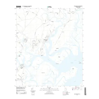
2014 Map of Shellman Bluff
USGS Topo · Published 2014About this map
Shellman Bluff and the surrounding Georgia coastal lowlands are defined by a complex network of saltwater rivers and marshes. This 2014 survey details a landscape where small bluff-side settlements like Julienton and Sutherland Bluff overlook the winding Julienton River. The map provides a high-resolution view of the area's many family and historic burial grounds, such as Contentment Plantation Cem and the Nelson Cem, which offer significant value for genealogical research in McIntosh County. The geography is dominated by large coastal landforms including Creighton Island and Fourmile Island, separated from the mainland by the Intracoastal Waterway and the Sapelo River. The presence of numerous small docks and boat ramps at Bellville Point and Pine Harbor underscores the maritime-dependent character of these communities.
Find a feature on this map
90 named features on this map. Tap any name to fly to it.
Don’t see what you’re looking for? This feature index may not catch every label — zoom into the map to look around manually.
Map Details
Editions of this 2014 Shellman Bluff Map
This is the sole edition of this map. No revisions or reprints were ever made.
Other maps of this area

1920 · Sapelo River
USGS Topo · 1:62,500

1920 · Cabretta Island
USGS Topo · 1:62,500

1921 · Darien
USGS Topo · 1:62,500

1928 · St Catherines Island
USGS Topo · 1:62,500

1943 · St Catherines Island
USGS Topo · 1:62,500

1943 · Sapelo River
USGS Topo · 1:62,500

1944 · Cabretta Island
USGS Topo · 1:62,500

1945 · St. Catherine's Island
USGS Topo · 1:62,500

1945 · Sapelo River
USGS Topo · 1:62,500

1946 · Brunswick
USGS Topo · 1:250,000